Transport Functions
Multimodal
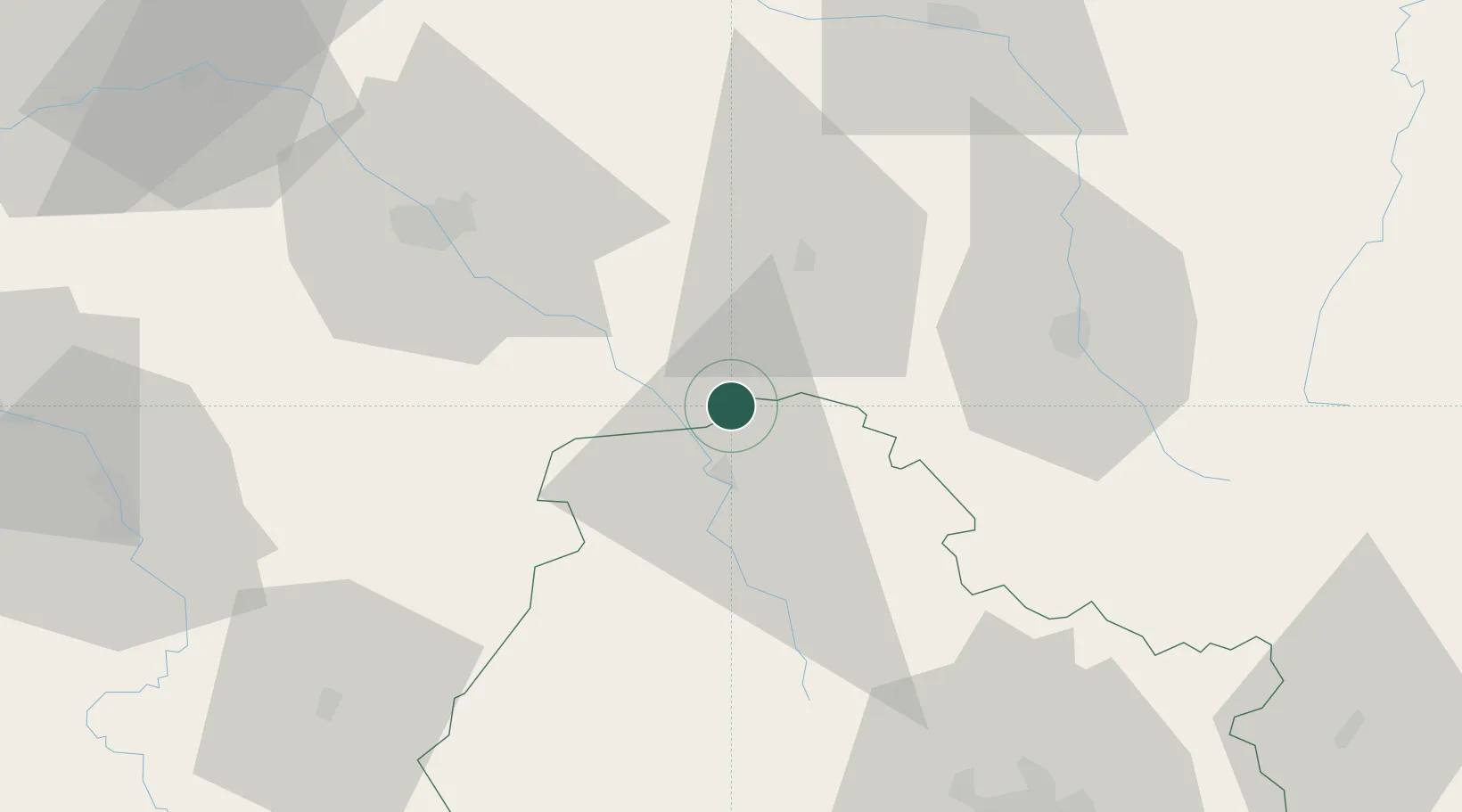
Hub Profile
Place type
Populated place
Region
Bourgogne
Population
222
Time zone
Europe/Paris
Elevation
203 m
Location
Nearby Logistics Neighbours
Cities
- 1Gomméville7 km
- 2Fontette10 km
- 3Mosson10 km
- 4Noé-les-Mallets11 km
- 5Massingy11 km
Ports
- 1Bruxelles319 km
- 2Ghent347 km
- 3Antwerpen358 km
- 4Nieuwpoort373 km
- 5Bruges373 km
Airports
Trade Zones
DatabookThe Record of Consolidated Knowledge
France beyond logistics?