Transport Functions
Road
Multimodal
Hub Profile
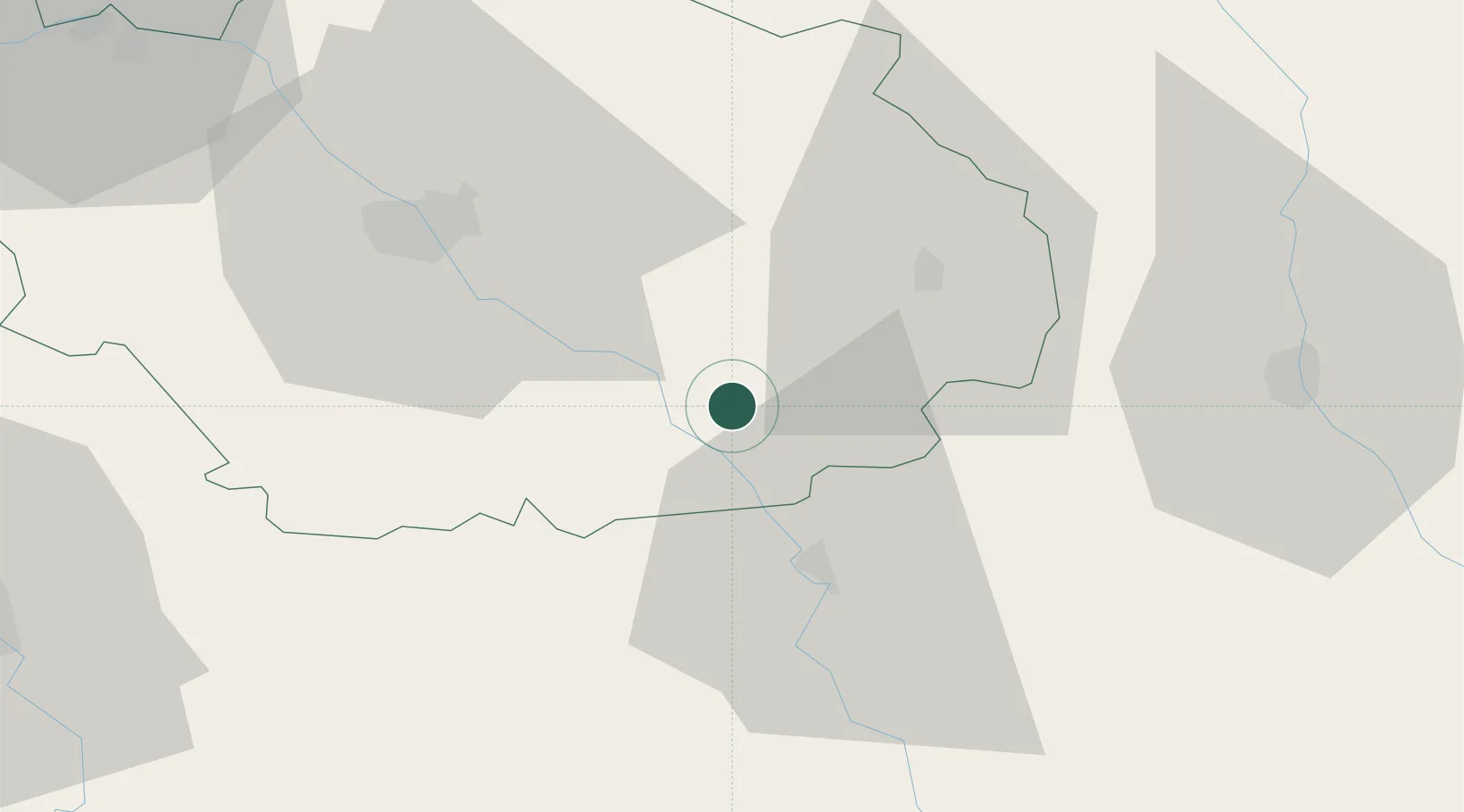
Place type
Populated place
Region
Grand Est
Population
515
Time zone
Europe/Paris
Elevation
193 m
Location
Nearby Logistics Neighbours
Cities
- 1Ville-sur-Arce4 km
- 2Celles-sur-Ource5 km
- 3Neuville-sur-Seine5 km
- 4Gyé-sur-Seine6 km
- 5Buxeuil6 km
Ports
- 1Bruxelles310 km
- 2Ghent336 km
- 3Antwerpen348 km
- 4Nieuwpoort361 km
- 5Bruges362 km
Airports
- 1Troyes-Barberey Airport43 km
- 2Saint-Dizier – Robinson Air Base69 km
- 3Auxerre Branches airport77 km
- 4Chalons Vatry airport79 km
- 5Dijon Longvic airport102 km
Trade Zones
DatabookThe Record of Consolidated Knowledge
France beyond logistics?