Transport Functions
Rail
Road
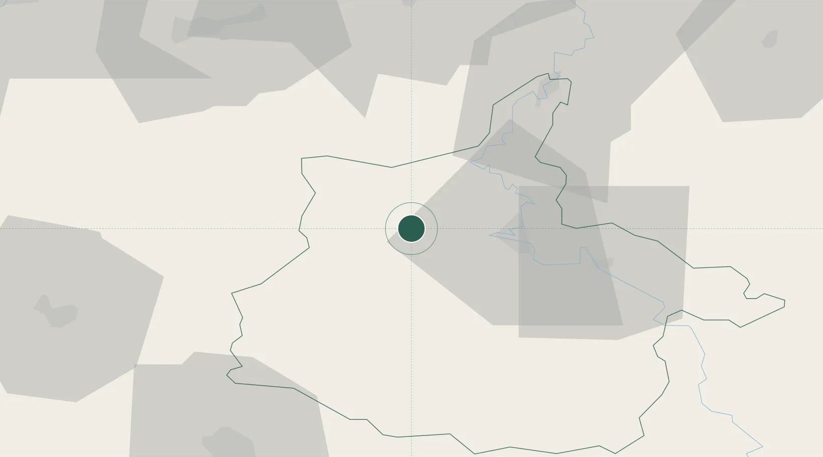
Hub Profile
Place type
Populated place
Region
Grand Est
Population
536
Time zone
Europe/Paris
Elevation
174 m
Location
Nearby Logistics Neighbours
Cities
- 1Ham-les-Moines9 km
- 2Jandun16 km
- 3Charleville-Mézières17 km
- 4Nouzonville20 km
- 5Lumes22 km
Airports
Trade Zones
- 1ZFU Ronde Couture17 km
- 2ZFU Maubeuge, Louvroil66 km
- 3ZFU Reims69 km
- 4ZFU Le Vermandois Vermand, Fayet, Artois, Champagne92 km
- 5ZFU Presles, Chevreux96 km
DatabookThe Record of Consolidated Knowledge
France beyond logistics?