Transport Functions
Multimodal
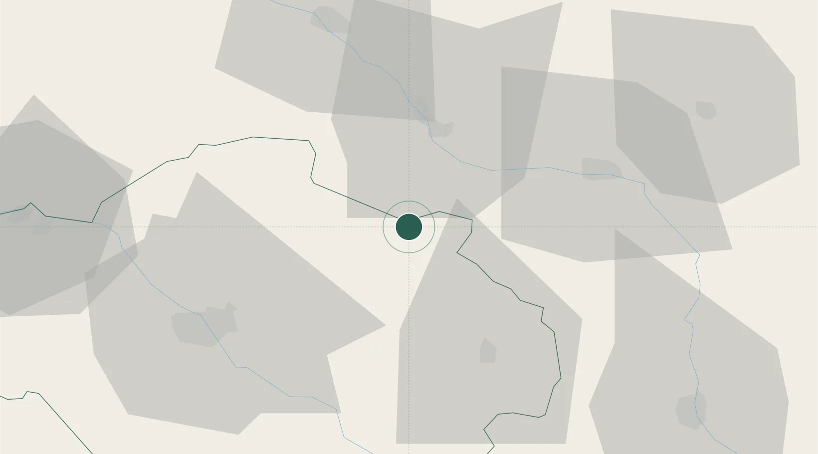
Hub Profile
Place type
Populated place
Region
Grand Est
Population
703
Time zone
Europe/Paris
Elevation
126 m
Location
Nearby Logistics Neighbours
Cities
- 1Brienne-le-Château13 km
- 2Brévonnes19 km
- 3Onjon23 km
- 4Marolles23 km
- 5Nully27 km
Ports
- 1Bruxelles262 km
- 2Ghent289 km
- 3Antwerpen300 km
- 4Bruges317 km
- 5Nieuwpoort318 km
Airports
Trade Zones
- 1ZFU Saint-Dizier28 km
- 2ZFU La Chapelle Saint-Luc, Les Noës-près-Troyes, Troyes, Sainte-Savine44 km
- 3ZFU Reims91 km
- 4ZFU Sens100 km
- 5ZFU Montereau-Fault-Yonne118 km
DatabookThe Record of Consolidated Knowledge
France beyond logistics?