Transport Functions
Road
Multimodal
Hub Profile
Place type
Populated place
Region
Grand Est
Population
302
Time zone
Europe/Paris
Elevation
216 m
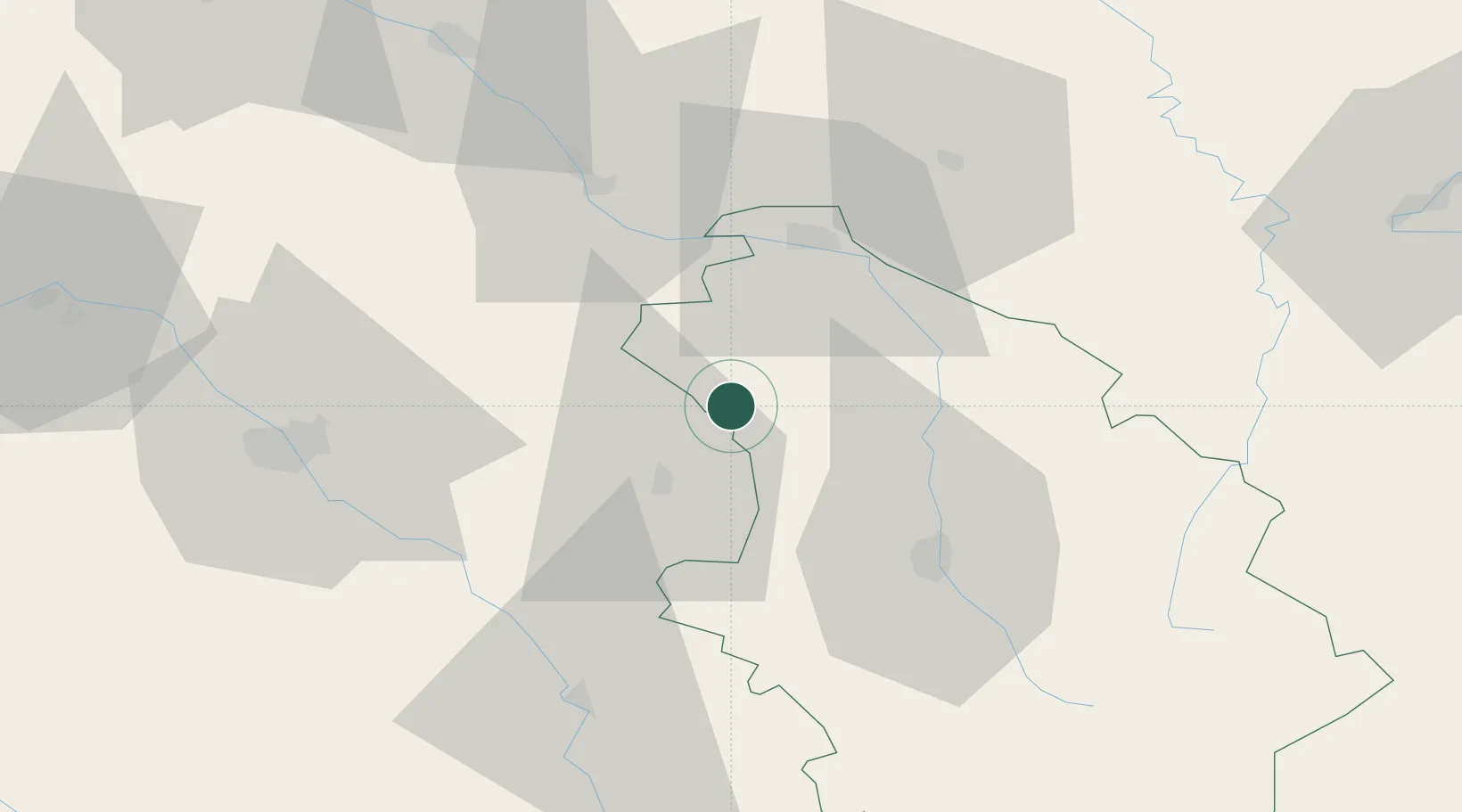
Location
Nearby Logistics Neighbours
Cities
- 1Saulcy9 km
- 2Colombé-la-Fosse11 km
- 3Engente12 km
- 4Arrentières14 km
- 5Rouvres-les-Vignes15 km
Airports
Trade Zones
DatabookThe Record of Consolidated Knowledge
France beyond logistics?