Medium airport · France

Nancy-Ochey (BA 133) Air BaseLFSO
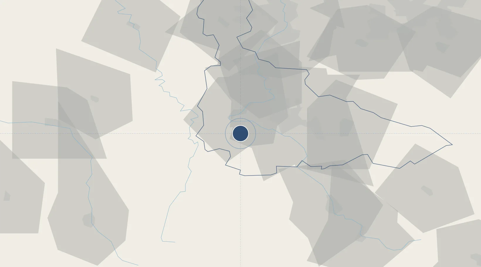
48.5831°, 5.9550°
7,878 ft
Longest runway
1
Runways
1,106 ft
Elevation

Runway & Layout

Nancy-Ochey (BA 133) Air Base runway & taxiway layout
Runway & taxiway layout — OpenStreetMap (ODbL) / OurAirports

Radio Frequencies

TWR
122.1 MHz
APP
36.23 MHz
APP
127.25 MHz
OurAirports

Navaids

NAY TACAN Nancy 116.80 MHz
OurAirports

Runways · 1

RunwayDimensions SurfaceTrue headingLit
02/20 7,878 × 148ft Concrete 019°
OurAirports

Airport Specifications

ICAO code
LFSO
OurAirports
Airport class
Medium airport
OurAirports
Scheduled service
No
OurAirports
Runway surface
Concrete
OurAirports
Served city
Thuilley-aux-Groseilles
OurAirports

Location

Location of LFSO
Natural Earth 10m (public domain) · Meurthe-et-Moselle · LFSO · 48.58, 5.96GoogleOSMYandex

Nearby Logistics Neighbours

Airports
  1. 1Nancy-Essey Airport24 km
  2. 2Épinal Mirecourt Airport30 km
  3. 3Metz-Nancy-Lorraine Airport49 km
  4. 4Verdun-Le Rozelier Airfield70 km
  5. 5Lieutenant Étienne Mantoux Air Base75 km
Nearest neighbours — logibook spatial index (haversine) over the source coordinates
Cities
  1. 1Toul10 km
  2. 2Pont-Saint-Vincent11 km
  3. 3Autrey14 km
  4. 4Richardménil16 km
  5. 5Ludres16 km
Nearest neighbours — logibook spatial index (haversine) over the source coordinates
Ports
  1. 1Bruxelles279 km
  2. 2Antwerpen313 km
  3. 3Ghent319 km
  4. 4Terneuzen344 km
  5. 5Hansweert348 km
Nearest neighbours — logibook spatial index (haversine) over the source coordinates
Trade Zones
  1. 1ZFU Maxéville, Laxou, et de Nancy21 km
  2. 2ZFU Metz60 km
  3. 3ZFU Woippy-Metz65 km
  4. 4ZFU Saint-Dizier80 km
  5. 5ZFU La Cité Behren-lès-Forbach96 km
Nearest neighbours — logibook spatial index (haversine) over the source coordinates
DatabookThe Record of Consolidated Knowledge
France beyond logistics?
Browse databook

All Sources

AirportsOurAirports
Public domain
Portsthe NGA World Port Index
Public domain (US gov)
LocationsUN/LOCODE
UN/LOCODE — free
Trade Zonesthe World Bank SEZ database
CC BY 4.0
Trade ZonesOpen Zone Map
CC BY
InfrastructureOpenStreetMap
ODbL 1.0
← France airports