UN/LOCODE hub · France
FRMR7

Marolles

48.7167°, 4.6333°
553
Population
2
Transport functions

Transport Functions

Port
Multimodal
UN/LOCODE

Hub Profile

Place type
Populated place
GeoNames
Region
Grand Est
GeoNames
Population
553
GeoNames
Time zone
Europe/Paris
GeoNames
Elevation
108 m
GeoNames

Location

Location of FRMR7
Natural Earth 10m (public domain) · Grand Est · FRMR7 · 48.72, 4.63GoogleOSMYandex

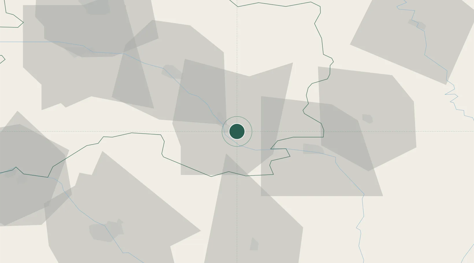
Nearby Logistics Neighbours

Cities
  1. 1Plichancourt4 km
  2. 2Bassuet10 km
  3. 3Soulanges10 km
  4. 4Pargny-sur-Saulx15 km
  5. 5Vanault-le-Châtel18 km
Nearest neighbours — logibook spatial index (haversine) over the source coordinates
Ports
  1. 1Bruxelles240 km
  2. 2Ghent269 km
  3. 3Antwerpen279 km
  4. 4Bruges298 km
  5. 5Terneuzen299 km
Nearest neighbours — logibook spatial index (haversine) over the source coordinates
Airports
  1. 1Saint-Dizier – Robinson Air Base22 km
  2. 2Chalons Vatry airport32 km
  3. 3Troyes-Barberey Airport63 km
  4. 4Verdun-Le Rozelier Airfield76 km
  5. 5Lieutenant Étienne Mantoux Air Base95 km
Nearest neighbours — logibook spatial index (haversine) over the source coordinates
Trade Zones
  1. 1ZFU Saint-Dizier20 km
  2. 2ZFU La Chapelle Saint-Luc, Les Noës-près-Troyes, Troyes, Sainte-Savine64 km
  3. 3ZFU Reims76 km
  4. 4ZFU Maxéville, Laxou, et de Nancy112 km
  5. 5ZFU Ronde Couture115 km
Nearest neighbours — logibook spatial index (haversine) over the source coordinates
DatabookThe Record of Consolidated Knowledge
France beyond logistics?
Browse databook

All Sources

LocationsUN/LOCODE
UN/LOCODE — free
LocationsGeoNames
CC BY 4.0
Portsthe NGA World Port Index
Public domain (US gov)
AirportsOurAirports
Public domain
Trade Zonesthe World Bank SEZ database
CC BY 4.0
Trade ZonesOpen Zone Map
CC BY
← France locations