UN/LOCODE hub · Finland
FIVTF

Västanfjärd

60.0500°, 22.6500°
2
Transport functions

Transport Functions

Port
Road
UN/LOCODE

Hub Profile

Region
19
GeoNames

Location

Location of FIVTF
Natural Earth 10m (public domain) · 19 · FIVTF · 60.05, 22.65GoogleOSMYandex

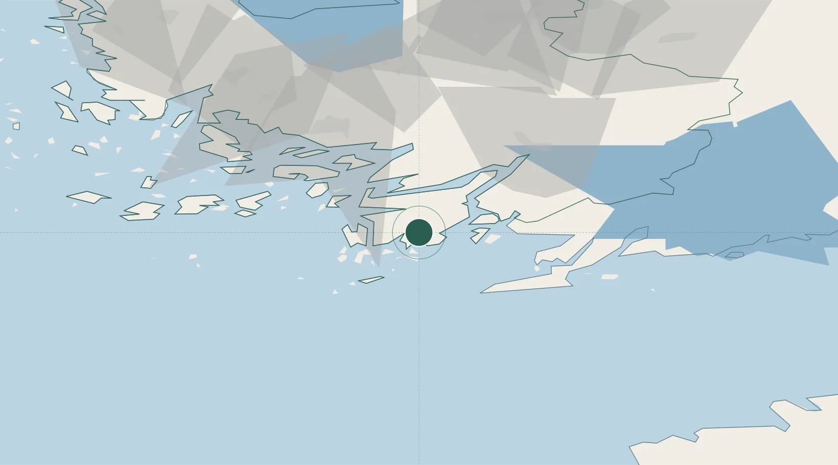
Nearby Logistics Neighbours

Cities
  1. 1Vestlax8 km
  2. 2Dalsbruk (Taalintehdas)8 km
  3. 3Dragsfjärd10 km
  4. 4Lövböle12 km
  5. 5Skinnarvik14 km
Nearest neighbours — logibook spatial index (haversine) over the source coordinates
Ports
  1. 1Hanko31 km
  2. 2Pargas41 km
  3. 3Ekenas44 km
  4. 4Turku50 km
  5. 5Jussaro57 km
Nearest neighbours — logibook spatial index (haversine) over the source coordinates
Airports
  1. 1Turku Airport56 km
  2. 2Kärdla Airport118 km
  3. 3Ämari Air Base124 km
  4. 4Helsinki Vantaa Airport131 km
  5. 5Tallinn Linnahall Heliport136 km
Nearest neighbours — logibook spatial index (haversine) over the source coordinates
Trade Zones
  1. 1Freeport of Hanko28 km
  2. 2Turku Free Zone50 km
  3. 3Paldiski Free Zone113 km
  4. 4Muuga Free Zone157 km
  5. 5Port of Hamina-Kotka241 km
Nearest neighbours — logibook spatial index (haversine) over the source coordinates
DatabookThe Record of Consolidated Knowledge
Finland beyond logistics?
Browse databook

All Sources

LocationsUN/LOCODE
UN/LOCODE — free
Portsthe NGA World Port Index
Public domain (US gov)
AirportsOurAirports
Public domain
Trade Zonesthe World Bank SEZ database
CC BY 4.0
Trade ZonesOpen Zone Map
CC BY
← Finland locations