UN/LOCODE hub · Finland
FILVB

Lövböle

60.1500°, 22.5500°
1
Transport functions

Transport Functions

Port
UN/LOCODE

Hub Profile

Region
19
GeoNames

Location

Location of FILVB
Natural Earth 10m (public domain) · 19 · FILVB · 60.15, 22.55GoogleOSMYandex

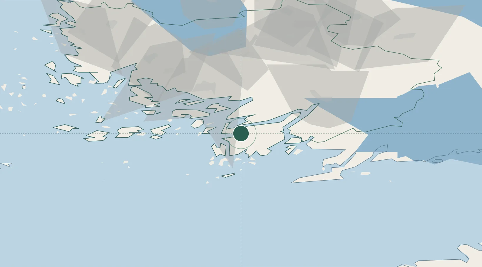
Nearby Logistics Neighbours

Cities
  1. 1Skinnarvik5 km
  2. 2Sandö (Santasaari)8 km
  3. 3Dragsfjärd10 km
  4. 4Kemiö (Kimito)11 km
  5. 5Västanfjärd12 km
Nearest neighbours — logibook spatial index (haversine) over the source coordinates
Ports
  1. 1Pargas31 km
  2. 2Turku38 km
  3. 3Hanko43 km
  4. 4Naantali46 km
  5. 5Ekenas52 km
Nearest neighbours — logibook spatial index (haversine) over the source coordinates
Airports
  1. 1Turku Airport44 km
  2. 2Kärdla Airport130 km
  3. 3Helsinki Vantaa Airport135 km
  4. 4Ämari Air Base136 km
  5. 5Tallinn Linnahall Heliport146 km
Nearest neighbours — logibook spatial index (haversine) over the source coordinates
Trade Zones
  1. 1Turku Free Zone38 km
  2. 2Freeport of Hanko40 km
  3. 3Paldiski Free Zone125 km
  4. 4Muuga Free Zone168 km
  5. 5Port of Hamina-Kotka244 km
Nearest neighbours — logibook spatial index (haversine) over the source coordinates
DatabookThe Record of Consolidated Knowledge
Finland beyond logistics?
Browse databook

All Sources

LocationsUN/LOCODE
UN/LOCODE — free
Portsthe NGA World Port Index
Public domain (US gov)
AirportsOurAirports
Public domain
Trade Zonesthe World Bank SEZ database
CC BY 4.0
Trade ZonesOpen Zone Map
CC BY
← Finland locations