UN/LOCODE hub · Finland
FIDLS

Dalsbruk (Taalintehdas)

60.0167°, 22.5167°
1
Transport functions

Transport Functions

Port
UN/LOCODE

Hub Profile

Region
19
GeoNames

Location

Location of FIDLS
Natural Earth 10m (public domain) · 19 · FIDLS · 60.02, 22.52GoogleOSMYandex

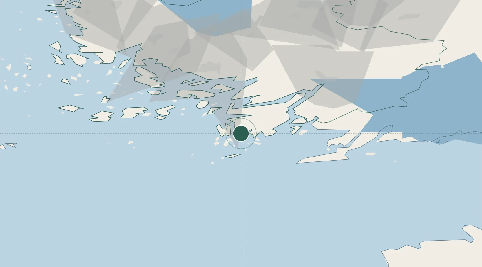
Nearby Logistics Neighbours

Cities
  1. 1Dragsfjärd6 km
  2. 2Västanfjärd8 km
  3. 3Högsåra11 km
  4. 4Kasnäs13 km
  5. 5Skinnarvik13 km
Nearest neighbours — logibook spatial index (haversine) over the source coordinates
Ports
  1. 1Hanko33 km
  2. 2Pargas39 km
  3. 3Turku51 km
  4. 4Ekenas51 km
  5. 5Naantali57 km
Nearest neighbours — logibook spatial index (haversine) over the source coordinates
Airports
  1. 1Turku Airport57 km
  2. 2Kärdla Airport115 km
  3. 3Ämari Air Base127 km
  4. 4Helsinki Vantaa Airport139 km
  5. 5Tallinn Linnahall Heliport140 km
Nearest neighbours — logibook spatial index (haversine) over the source coordinates
Trade Zones
  1. 1Freeport of Hanko29 km
  2. 2Turku Free Zone50 km
  3. 3Paldiski Free Zone116 km
  4. 4Muuga Free Zone161 km
  5. 5Port of Hamina-Kotka249 km
Nearest neighbours — logibook spatial index (haversine) over the source coordinates
DatabookThe Record of Consolidated Knowledge
Finland beyond logistics?
Browse databook

All Sources

LocationsUN/LOCODE
UN/LOCODE — free
Portsthe NGA World Port Index
Public domain (US gov)
AirportsOurAirports
Public domain
Trade Zonesthe World Bank SEZ database
CC BY 4.0
Trade ZonesOpen Zone Map
CC BY
← Finland locations