Transport Functions
Port
Road
Hub Profile
Place type
Populated place
Region
Southwest Finland
Time zone
Europe/Helsinki
Elevation
37 m
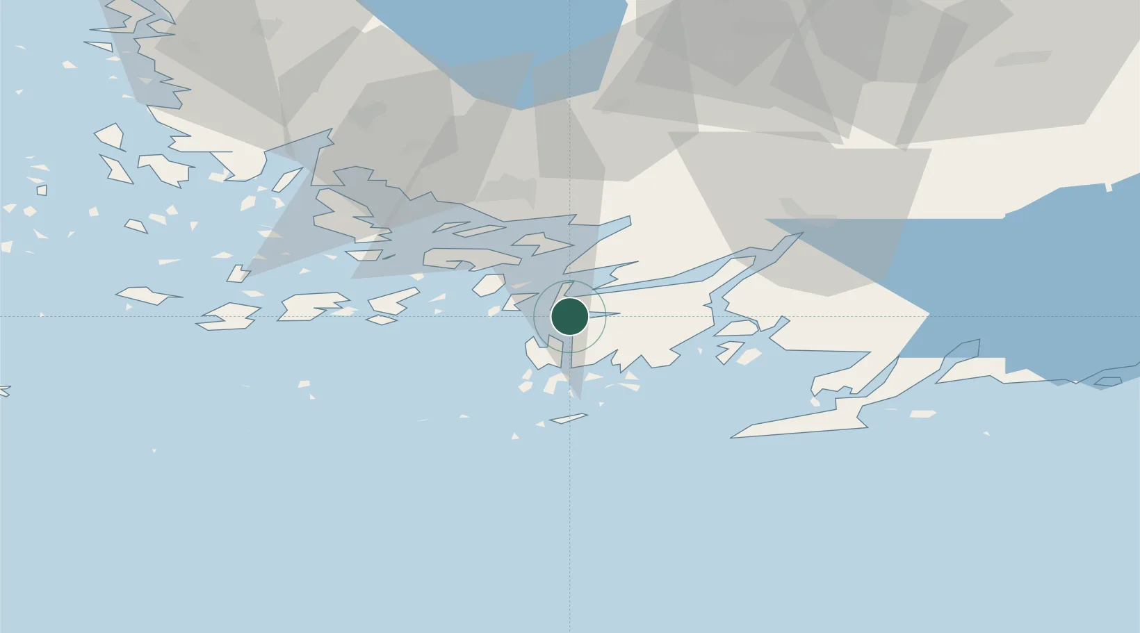
Location
Nearby Logistics Neighbours
Cities
- 1Lövböle5 km
- 2Dragsfjärd7 km
- 3Sandö (Santasaari)9 km
- 4Dalsbruk (Taalintehdas)13 km
- 5Västanfjärd14 km
Airports
- 1Turku Airport44 km
- 2Kärdla Airport129 km
- 3Ämari Air Base138 km
- 4Helsinki Vantaa Airport139 km
- 5Tallinn Linnahall Heliport149 km
Trade Zones
- 1Turku Free Zone37 km
- 2Freeport of Hanko41 km
- 3Paldiski Free Zone127 km
- 4Muuga Free Zone170 km
- 5Port of Hamina-Kotka249 km
DatabookThe Record of Consolidated Knowledge
Finland beyond logistics?