UN/LOCODE hub · Finland
FIDRA

Dragsfjärd

60.0667°, 22.4667°
1
Transport functions

Transport Functions

Port
UN/LOCODE

Hub Profile

Region
19
GeoNames

Location

Location of FIDRA
Natural Earth 10m (public domain) · 19 · FIDRA · 60.07, 22.47GoogleOSMYandex

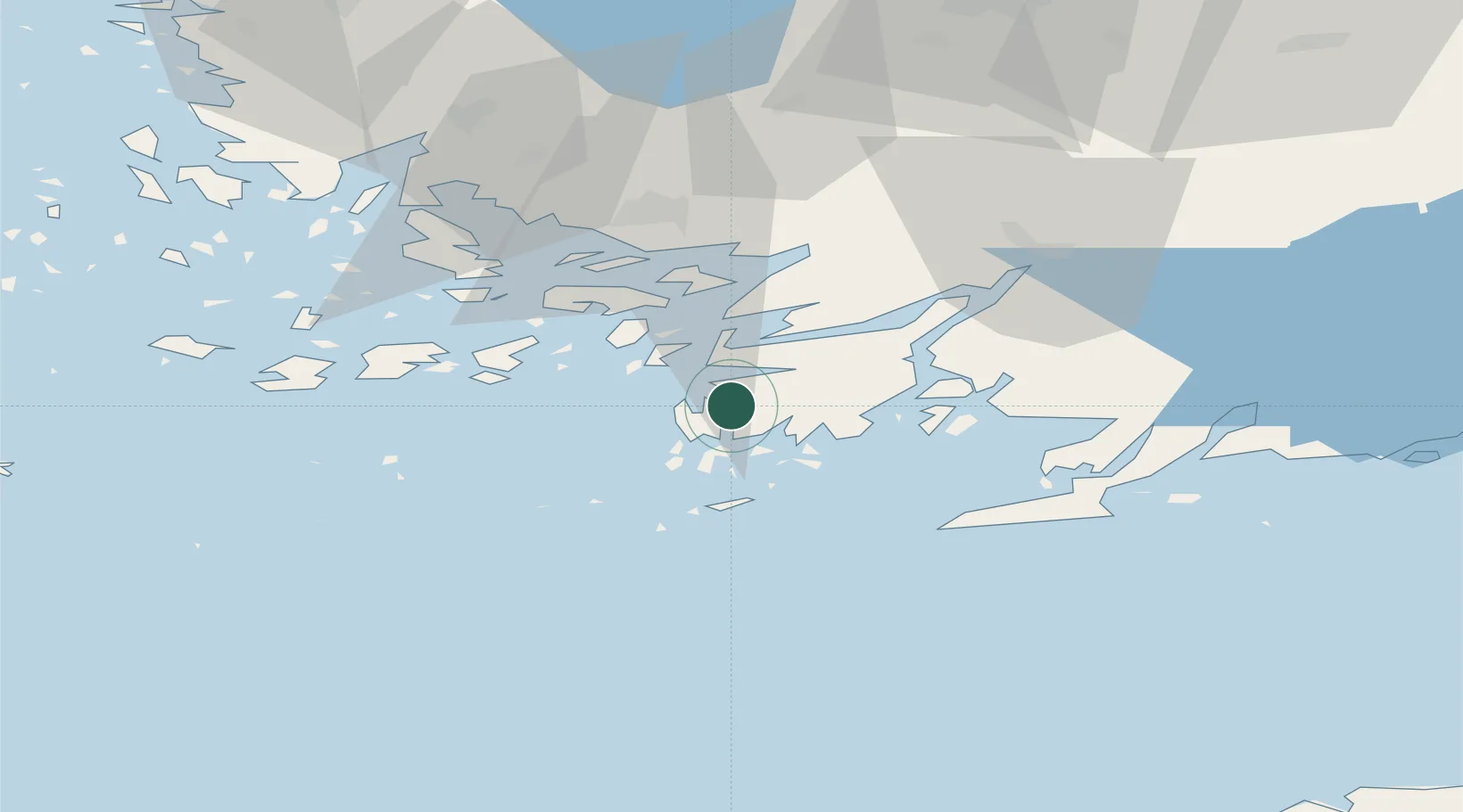
Nearby Logistics Neighbours

Cities
  1. 1Dalsbruk (Taalintehdas)6 km
  2. 2Skinnarvik7 km
  3. 3Västanfjärd10 km
  4. 4Lövböle10 km
  5. 5Högsåra14 km
Nearest neighbours — logibook spatial index (haversine) over the source coordinates
Ports
  1. 1Pargas33 km
  2. 2Hanko39 km
  3. 3Turku45 km
  4. 4Naantali51 km
  5. 5Ekenas55 km
Nearest neighbours — logibook spatial index (haversine) over the source coordinates
Airports
  1. 1Turku Airport51 km
  2. 2Kärdla Airport121 km
  3. 3Ämari Air Base133 km
  4. 4Helsinki Vantaa Airport141 km
  5. 5Tallinn Linnahall Heliport145 km
Nearest neighbours — logibook spatial index (haversine) over the source coordinates
Trade Zones
  1. 1Freeport of Hanko35 km
  2. 2Turku Free Zone44 km
  3. 3Paldiski Free Zone122 km
  4. 4Muuga Free Zone167 km
  5. 5Port of Hamina-Kotka251 km
Nearest neighbours — logibook spatial index (haversine) over the source coordinates
DatabookThe Record of Consolidated Knowledge
Finland beyond logistics?
Browse databook

All Sources

LocationsUN/LOCODE
UN/LOCODE — free
Portsthe NGA World Port Index
Public domain (US gov)
AirportsOurAirports
Public domain
Trade Zonesthe World Bank SEZ database
CC BY 4.0
Trade ZonesOpen Zone Map
CC BY
← Finland locations