UN/LOCODE hub · Finland
FIVAS

Vestlax

60.0833°, 22.7667°
2
Transport functions

Transport Functions

Port
Road
UN/LOCODE

Hub Profile

Place type
Populated place
GeoNames
Region
Southwest Finland
GeoNames
Time zone
Europe/Helsinki
GeoNames
Elevation
1 m
GeoNames

Location

Location of FIVAS
Natural Earth 10m (public domain) · Southwest Finland · FIVAS · 60.08, 22.77GoogleOSMYandex

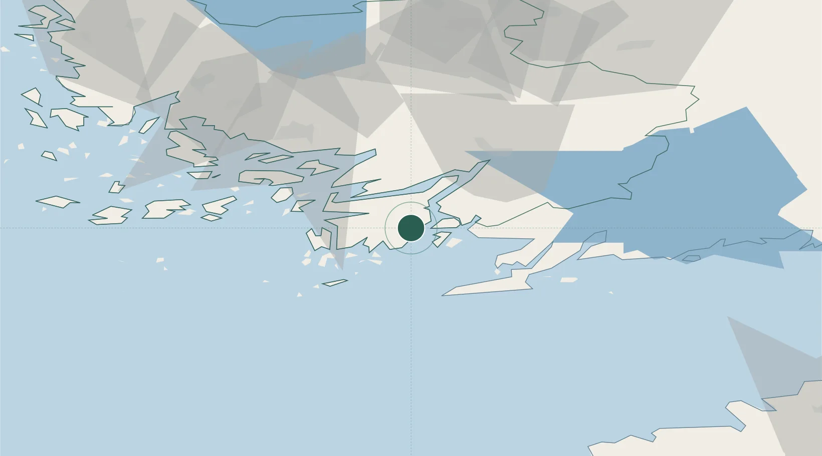
Nearby Logistics Neighbours

Cities
  1. 1Västanfjärd8 km
  2. 2Tessvär8 km
  3. 3Kemiö (Kimito)9 km
  4. 4Finby (Särkisalo)9 km
  5. 5Lövböle14 km
Nearest neighbours — logibook spatial index (haversine) over the source coordinates
Ports
  1. 1Hanko31 km
  2. 2Ekenas39 km
  3. 3Pargas45 km
  4. 4Turku50 km
  5. 5Jussaro53 km
Nearest neighbours — logibook spatial index (haversine) over the source coordinates
Airports
  1. 1Turku Airport55 km
  2. 2Kärdla Airport122 km
  3. 3Ämari Air Base122 km
  4. 4Helsinki Vantaa Airport124 km
  5. 5Tallinn Linnahall Heliport132 km
Nearest neighbours — logibook spatial index (haversine) over the source coordinates
Trade Zones
  1. 1Freeport of Hanko29 km
  2. 2Turku Free Zone50 km
  3. 3Paldiski Free Zone111 km
  4. 4Muuga Free Zone153 km
  5. 5Port of Hamina-Kotka234 km
Nearest neighbours — logibook spatial index (haversine) over the source coordinates
DatabookThe Record of Consolidated Knowledge
Finland beyond logistics?
Browse databook

All Sources

LocationsUN/LOCODE
UN/LOCODE — free
Portsthe NGA World Port Index
Public domain (US gov)
AirportsOurAirports
Public domain
Trade Zonesthe World Bank SEZ database
CC BY 4.0
Trade ZonesOpen Zone Map
CC BY
← Finland locations