UN/LOCODE hub · Finland
FISAR

Finby (Särkisalo)

60.1000°, 22.9333°
2
Transport functions

Transport Functions

Port
Road
UN/LOCODE

Hub Profile

Region
18
GeoNames

Location

Location of FISAR
Natural Earth 10m (public domain) · 18 · FISAR · 60.10, 22.93GoogleOSMYandex

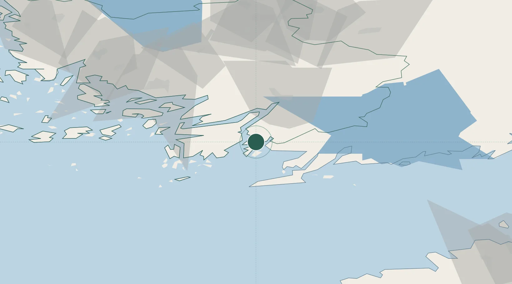
Nearby Logistics Neighbours

Cities
  1. 1Tessvär6 km
  2. 2Vestlax9 km
  3. 3Kemiö (Kimito)13 km
  4. 4Bromarv14 km
  5. 5Perniö (Bjärnå)16 km
Nearest neighbours — logibook spatial index (haversine) over the source coordinates
Ports
  1. 1Ekenas31 km
  2. 2Hanko32 km
  3. 3Jussaro46 km
  4. 4Pargas52 km
  5. 5Turku55 km
Nearest neighbours — logibook spatial index (haversine) over the source coordinates
Airports
  1. 1Turku Airport59 km
  2. 2Helsinki Vantaa Airport115 km
  3. 3Ämari Air Base118 km
  4. 4Kärdla Airport124 km
  5. 5Tallinn Linnahall Heliport125 km
Nearest neighbours — logibook spatial index (haversine) over the source coordinates
Trade Zones
  1. 1Freeport of Hanko30 km
  2. 2Turku Free Zone55 km
  3. 3Paldiski Free Zone107 km
  4. 4Muuga Free Zone147 km
  5. 5Port of Hamina-Kotka225 km
Nearest neighbours — logibook spatial index (haversine) over the source coordinates
DatabookThe Record of Consolidated Knowledge
Finland beyond logistics?
Browse databook

All Sources

LocationsUN/LOCODE
UN/LOCODE — free
Portsthe NGA World Port Index
Public domain (US gov)
AirportsOurAirports
Public domain
Trade Zonesthe World Bank SEZ database
CC BY 4.0
Trade ZonesOpen Zone Map
CC BY
← Finland locations