Transport Functions
Port
Road
Hub Profile
Region
19
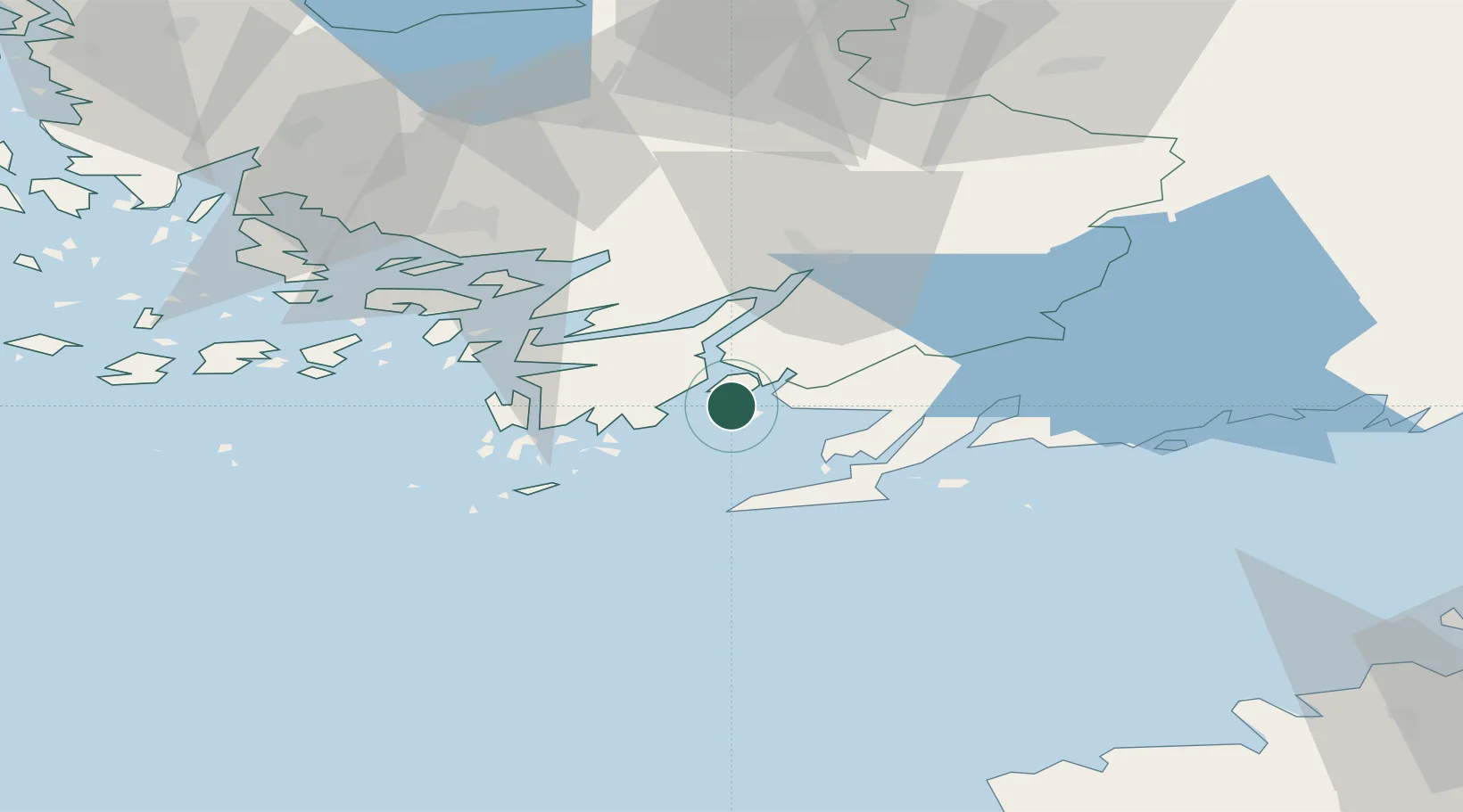
Location
Nearby Logistics Neighbours
Cities
- 1Finby (Särkisalo)6 km
- 2Vestlax8 km
- 3Bromarv11 km
- 4Västanfjärd14 km
- 5Kemiö (Kimito)15 km
Airports
- 1Turku Airport62 km
- 2Ämari Air Base114 km
- 3Kärdla Airport118 km
- 4Helsinki Vantaa Airport118 km
- 5Tallinn Linnahall Heliport124 km
Trade Zones
- 1Freeport of Hanko25 km
- 2Turku Free Zone58 km
- 3Paldiski Free Zone103 km
- 4Muuga Free Zone145 km
- 5Port of Hamina-Kotka228 km
DatabookThe Record of Consolidated Knowledge
Finland beyond logistics?