UN/LOCODE hub · Finland
FIKIM

Kemiö (Kimito)

60.1667°, 22.7500°
1
Transport functions

Transport Functions

Port
UN/LOCODE

Hub Profile

Region
19
GeoNames

Location

Location of FIKIM
Natural Earth 10m (public domain) · 19 · FIKIM · 60.17, 22.75GoogleOSMYandex

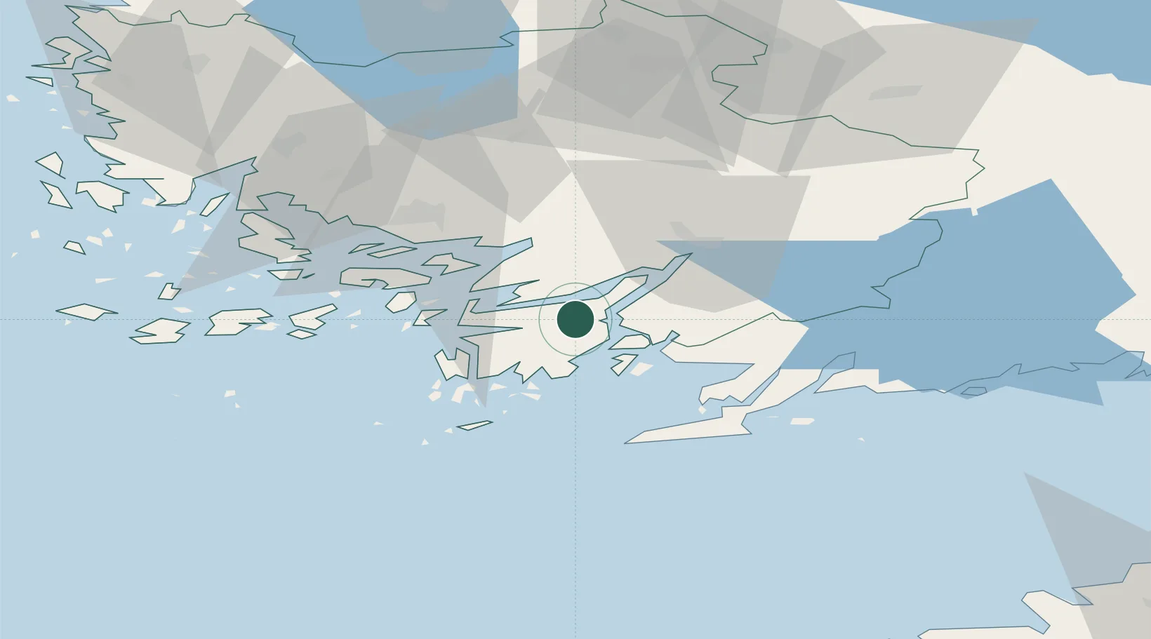
Nearby Logistics Neighbours

Cities
  1. 1Vestlax9 km
  2. 2Lövböle11 km
  3. 3Finby (Särkisalo)13 km
  4. 4Västanfjärd14 km
  5. 5Sandö (Santasaari)15 km
Nearest neighbours — logibook spatial index (haversine) over the source coordinates
Ports
  1. 1Pargas40 km
  2. 2Hanko41 km
  3. 3Turku43 km
  4. 4Ekenas43 km
  5. 5Naantali52 km
Nearest neighbours — logibook spatial index (haversine) over the source coordinates
Airports
  1. 1Turku Airport47 km
  2. 2Helsinki Vantaa Airport123 km
  3. 3Ämari Air Base130 km
  4. 4Kärdla Airport131 km
  5. 5Tallinn Linnahall Heliport138 km
Nearest neighbours — logibook spatial index (haversine) over the source coordinates
Trade Zones
  1. 1Freeport of Hanko38 km
  2. 2Turku Free Zone43 km
  3. 3Paldiski Free Zone119 km
  4. 4Muuga Free Zone160 km
  5. 5Port of Hamina-Kotka233 km
Nearest neighbours — logibook spatial index (haversine) over the source coordinates
DatabookThe Record of Consolidated Knowledge
Finland beyond logistics?
Browse databook

All Sources

LocationsUN/LOCODE
UN/LOCODE — free
Portsthe NGA World Port Index
Public domain (US gov)
AirportsOurAirports
Public domain
Trade Zonesthe World Bank SEZ database
CC BY 4.0
Trade ZonesOpen Zone Map
CC BY
← Finland locations