Transport Functions
Port
Road
Hub Profile
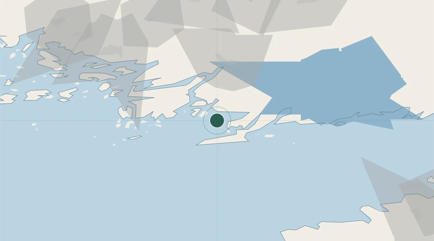
Place type
Farm village
Region
Uusimaa
Time zone
Europe/Helsinki
Elevation
13 m
Location
Nearby Logistics Neighbours
Cities
- 1Tessvär11 km
- 2Finby (Särkisalo)14 km
- 3Lappohja (Lappvik)15 km
- 4Koverhaara (Koverhar)17 km
- 5Tenala18 km
Airports
- 1Turku Airport73 km
- 2Ämari Air Base104 km
- 3Kärdla Airport111 km
- 4Helsinki Vantaa Airport113 km
- 5Tallinn Linnahall Heliport113 km
Trade Zones
- 1Freeport of Hanko19 km
- 2Turku Free Zone68 km
- 3Paldiski Free Zone93 km
- 4Muuga Free Zone135 km
- 5Port of Hamina-Kotka222 km
DatabookThe Record of Consolidated Knowledge
Finland beyond logistics?