UN/LOCODE hub · Finland
FIPNO

Perniö (Bjärnå)

60.2000°, 23.1333°
2
Transport functions

Transport Functions

Rail
Road
UN/LOCODE

Hub Profile

Region
19
GeoNames

Location

Location of FIPNO
Natural Earth 10m (public domain) · 19 · FIPNO · 60.20, 23.13GoogleOSMYandex

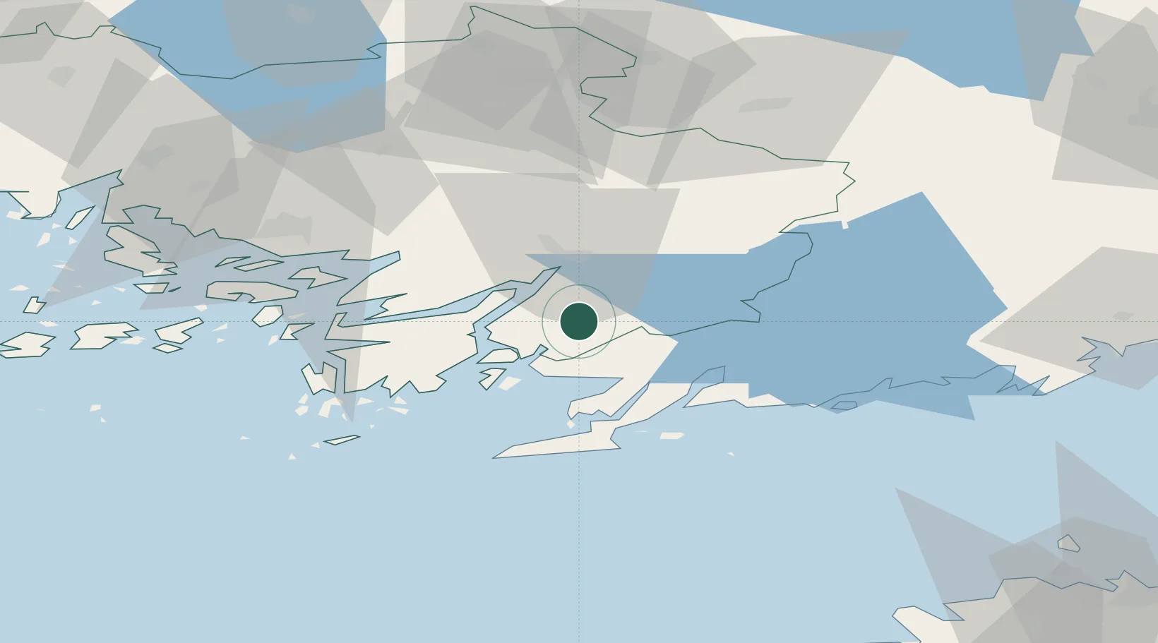
Nearby Logistics Neighbours

Cities
  1. 1Finby (Särkisalo)16 km
  2. 2Vartsala17 km
  3. 3Tenala18 km
  4. 4Tessvär21 km
  5. 5Kemiö (Kimito)22 km
Nearest neighbours — logibook spatial index (haversine) over the source coordinates
Ports
  1. 1Ekenas29 km
  2. 2Hanko44 km
  3. 3Jussaro47 km
  4. 4Inkoo48 km
  5. 5Turku57 km
Nearest neighbours — logibook spatial index (haversine) over the source coordinates
Airports
  1. 1Turku Airport59 km
  2. 2Helsinki Vantaa Airport102 km
  3. 3Ämari Air Base121 km
  4. 4Tallinn Linnahall Heliport123 km
  5. 5Lennart Meri Tallinn Airport129 km
Nearest neighbours — logibook spatial index (haversine) over the source coordinates
Trade Zones
  1. 1Freeport of Hanko44 km
  2. 2Turku Free Zone58 km
  3. 3Paldiski Free Zone110 km
  4. 4Muuga Free Zone146 km
  5. 5Port of Hamina-Kotka212 km
Nearest neighbours — logibook spatial index (haversine) over the source coordinates
DatabookThe Record of Consolidated Knowledge
Finland beyond logistics?
Browse databook

All Sources

LocationsUN/LOCODE
UN/LOCODE — free
Portsthe NGA World Port Index
Public domain (US gov)
AirportsOurAirports
Public domain
Trade Zonesthe World Bank SEZ database
CC BY 4.0
Trade ZonesOpen Zone Map
CC BY
← Finland locations