UN/LOCODE hub · Finland
FIHOG

Högsåra

59.9500°, 22.3667°
2
Transport functions

Transport Functions

Port
Road
UN/LOCODE

Hub Profile

Region
19
GeoNames

Location

Location of FIHOG
Natural Earth 10m (public domain) · 19 · FIHOG · 59.95, 22.37GoogleOSMYandex

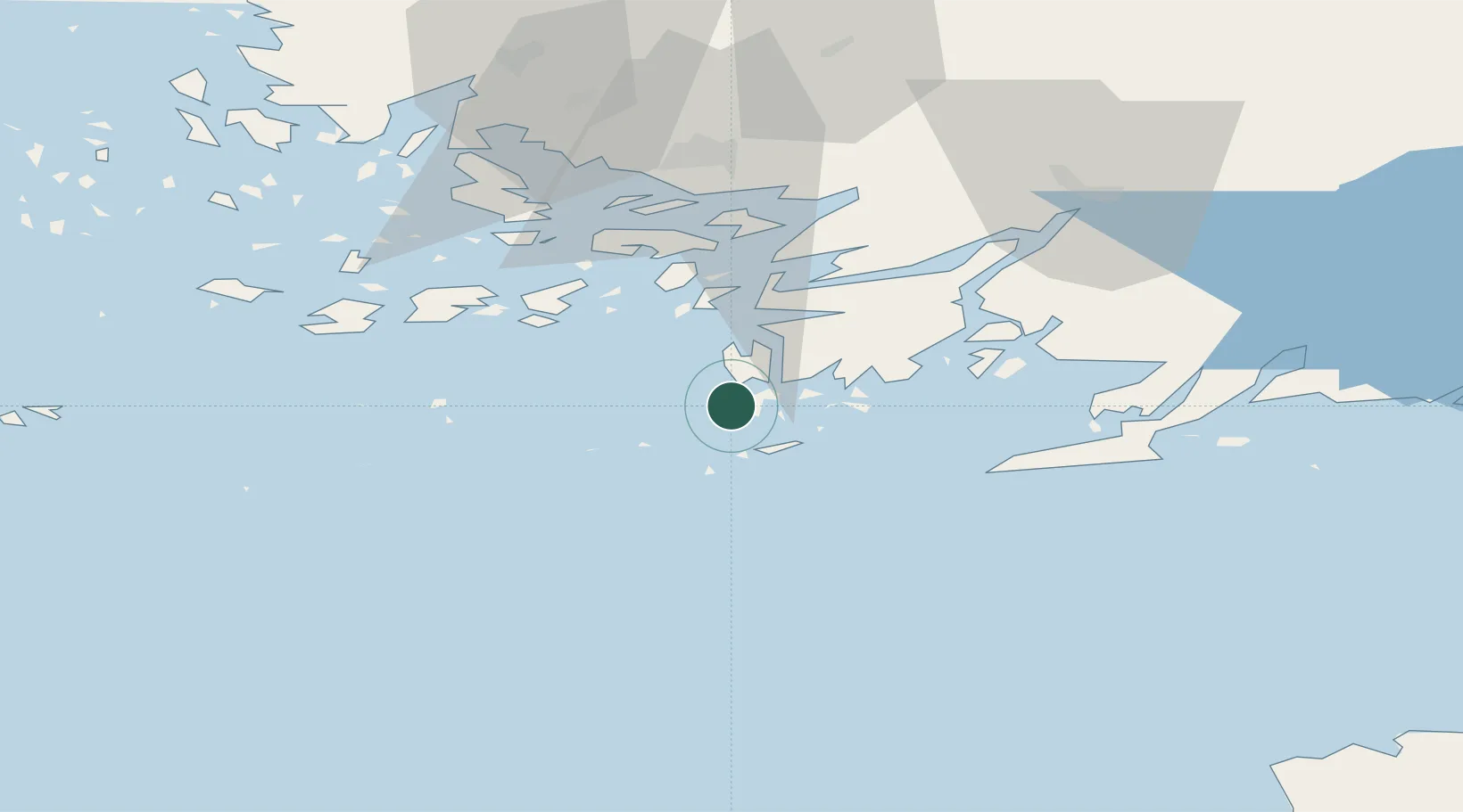
Nearby Logistics Neighbours

Cities
  1. 1Kasnäs4 km
  2. 2Hiitinen11 km
  3. 3Dalsbruk (Taalintehdas)11 km
  4. 4Dragsfjärd14 km
  5. 5Västanfjärd19 km
Nearest neighbours — logibook spatial index (haversine) over the source coordinates
Ports
  1. 1Hanko36 km
  2. 2Pargas41 km
  3. 3Turku56 km
  4. 4Uto59 km
  5. 5Ekenas60 km
Nearest neighbours — logibook spatial index (haversine) over the source coordinates
Airports
  1. 1Turku Airport63 km
  2. 2Kärdla Airport110 km
  3. 3Ämari Air Base129 km
  4. 4Tallinn Linnahall Heliport145 km
  5. 5Helsinki Vantaa Airport150 km
Nearest neighbours — logibook spatial index (haversine) over the source coordinates
Trade Zones
  1. 1Freeport of Hanko32 km
  2. 2Turku Free Zone56 km
  3. 3Paldiski Free Zone118 km
  4. 4Muuga Free Zone166 km
  5. 5Stockholm Free Zone248 km
Nearest neighbours — logibook spatial index (haversine) over the source coordinates
DatabookThe Record of Consolidated Knowledge
Finland beyond logistics?
Browse databook

All Sources

LocationsUN/LOCODE
UN/LOCODE — free
Portsthe NGA World Port Index
Public domain (US gov)
AirportsOurAirports
Public domain
Trade Zonesthe World Bank SEZ database
CC BY 4.0
Trade ZonesOpen Zone Map
CC BY
← Finland locations