UN/LOCODE hub · Finland
FIKSN

Kasnäs

59.9167°, 22.4000°
1
Transport functions

Transport Functions

Port
UN/LOCODE

Hub Profile

Region
19
GeoNames

Location

Location of FIKSN
Natural Earth 10m (public domain) · 19 · FIKSN · 59.92, 22.40GoogleOSMYandex

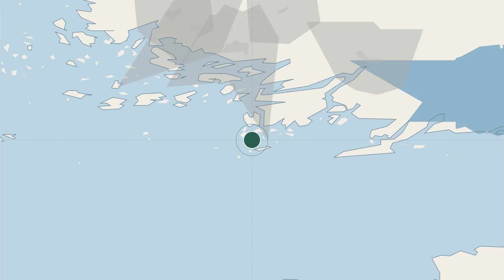
Nearby Logistics Neighbours

Cities
  1. 1Högsåra4 km
  2. 2Hiitinen7 km
  3. 3Dalsbruk (Taalintehdas)13 km
  4. 4Dragsfjärd17 km
  5. 5Västanfjärd20 km
Nearest neighbours — logibook spatial index (haversine) over the source coordinates
Ports
  1. 1Hanko33 km
  2. 2Pargas45 km
  3. 3Ekenas58 km
  4. 4Uto60 km
  5. 5Turku60 km
Nearest neighbours — logibook spatial index (haversine) over the source coordinates
Airports
  1. 1Turku Airport67 km
  2. 2Kärdla Airport106 km
  3. 3Ämari Air Base125 km
  4. 4Tallinn Linnahall Heliport142 km
  5. 5Lennart Meri Tallinn Airport148 km
Nearest neighbours — logibook spatial index (haversine) over the source coordinates
Trade Zones
  1. 1Freeport of Hanko29 km
  2. 2Turku Free Zone60 km
  3. 3Paldiski Free Zone114 km
  4. 4Muuga Free Zone162 km
  5. 5Stockholm Free Zone249 km
Nearest neighbours — logibook spatial index (haversine) over the source coordinates
DatabookThe Record of Consolidated Knowledge
Finland beyond logistics?
Browse databook

All Sources

LocationsUN/LOCODE
UN/LOCODE — free
Portsthe NGA World Port Index
Public domain (US gov)
AirportsOurAirports
Public domain
Trade Zonesthe World Bank SEZ database
CC BY 4.0
Trade ZonesOpen Zone Map
CC BY
← Finland locations