Transport Functions
Rail
Road
Hub Profile
Place type
Populated place
Region
Pichincha
Time zone
America/Guayaquil
Elevation
2,377 m
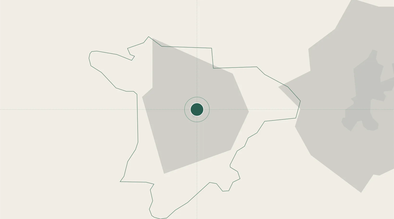
Location
Nearby Logistics Neighbours
Ports
- 1Esmeraldas149 km
- 2Manta189 km
- 3Guayaquil231 km
- 4Tumaco234 km
- 5Puerto Maritimo De Guayaquil240 km
Airports
Trade Zones
- 1Zona Franca Millestonecorp76 km
- 2Zona Franca Mitad del Mundo80 km
- 3Corpaq Tabalela (Quiport)91 km
- 4Metrozona Quito92 km
- 5Zona Franca Manabí188 km
DatabookThe Record of Consolidated Knowledge
Ecuador beyond logistics?