Large airport · Dominican Republic

Las Américas International AirportMDSD
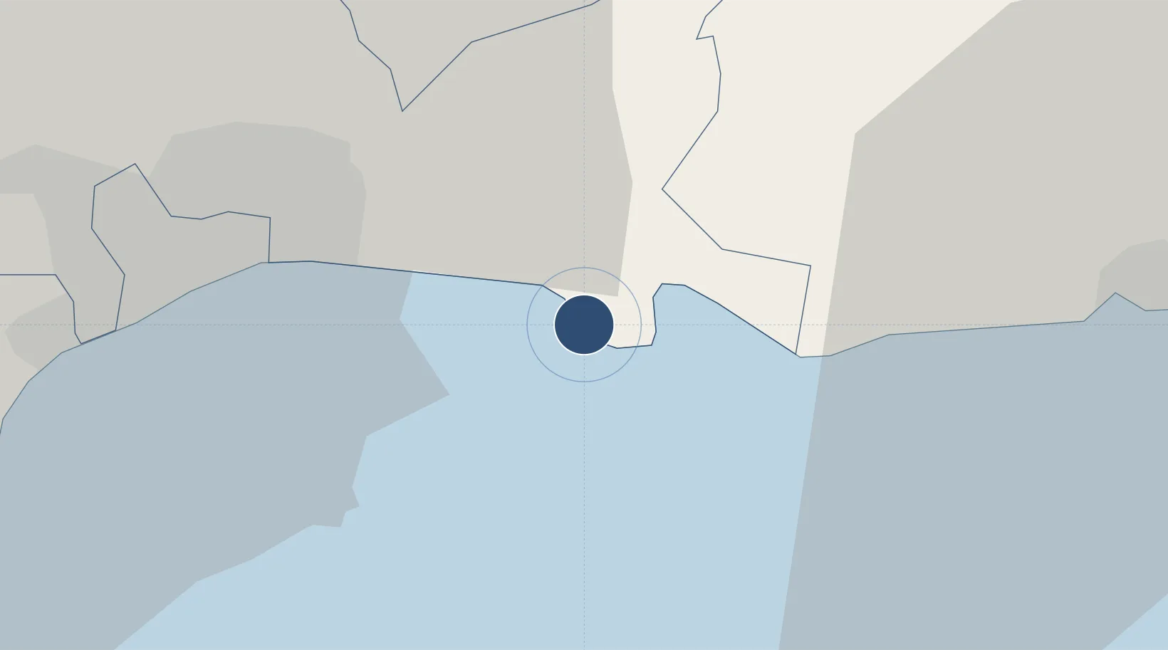
18.4297°, -69.6689°
11,000 ft
Longest runway
2
Runways
59 ft
Elevation

Runway & Layout

Las Américas International Airport runway & taxiway layout
Runway & taxiway layout — OpenStreetMap (ODbL) / OurAirports

Radio Frequencies

ATIS
126.2 MHz
TWR
118.1 MHz
GND
121.9 MHz
APP
119.3 MHz
FCC
126.9 MHz
SANTO DOMINGO INFO
FSS
122 MHz
OurAirports

Navaids

CDO VOR-DME Punta Caucedo 114.70 MHz
LAS NDB Guerra 200 kHz
OurAirports

Runways · 2

RunwayDimensions SurfaceTrue headingLit
17/35 11,000 × 200ft Asphalt 161°
18/36 9,813 × 148ft Asphalt 173°
OurAirports

Airport Specifications

IATA code
SDQ
OurAirports
ICAO code
MDSD
OurAirports
Airport class
Large airport
OurAirports
Scheduled service
Yes
OurAirports
Runway surface
Asphalt
OurAirports
Served city
Santo Domingo
OurAirports

Location

Location of MDSD
Natural Earth 10m (public domain) · Santo Domingo · MDSD · 18.43, -69.67GoogleOSMYandex

Nearby Logistics Neighbours

Airports
  1. 1San Isidro Air Base13 km
  2. 2Los Llanos de Sabanatosa Airport24 km
  3. 3La Isabela International Airport37 km
  4. 4Casa De Campo International Airport80 km
  5. 5Samaná El Catey International Airport94 km
Nearest neighbours — logibook spatial index (haversine) over the source coordinates
Cities
  1. 1Caucedo3 km
  2. 2Guerra14 km
  3. 3San Isidro16 km
  4. 4Hainamosa20 km
  5. 5Santo Domingo23 km
Nearest neighbours — logibook spatial index (haversine) over the source coordinates
Ports
  1. 1Andres (Andres Lng Terminal)4 km
  2. 2Santo Domingo23 km
  3. 3Puerto De Haina37 km
  4. 4San Pedro De Macoris37 km
  5. 5La Romana74 km
Nearest neighbours — logibook spatial index (haversine) over the source coordinates
DatabookThe Record of Consolidated Knowledge
Dominican Republic beyond logistics?
Browse databook

All Sources

AirportsOurAirports
Public domain
Portsthe NGA World Port Index
Public domain (US gov)
LocationsUN/LOCODE
UN/LOCODE — free
Trade Zonesthe World Bank SEZ database
CC BY 4.0
Trade ZonesOpen Zone Map
CC BY
InfrastructureOpenStreetMap
ODbL 1.0
← Dominican Republic airports