Transport Functions
Multimodal
Hub Profile
Place type
Populated place
Region
Baden-Wurttemberg
Time zone
Europe/Berlin
Elevation
214 m
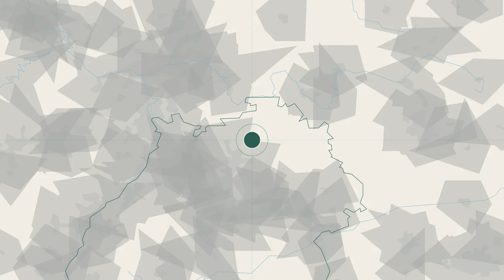
Location
Nearby Logistics Neighbours
Cities
- 1Adelsheim2 km
- 2Schefflenz9 km
- 3Schöntal9 km
- 4Siglingen10 km
- 5Jagsthausen10 km
Airports
- 1Adolf Würth Airport40 km
- 2Niederstetten Army Air Base42 km
- 3Mannheim-City Airport64 km
- 4Stuttgart Airport76 km
- 5Frankfurt-Egelsbach Airport85 km
Trade Zones
- 1ZFU Neuhof150 km
- 2ZFU Hautepierre150 km
- 3ZFU La Cité Behren-lès-Forbach180 km
- 4Luxembourg Free Port230 km
- 5ZFU Mulhouse235 km
DatabookThe Record of Consolidated Knowledge
Germany beyond logistics?