Transport Functions
Road
Multimodal
Hub Profile
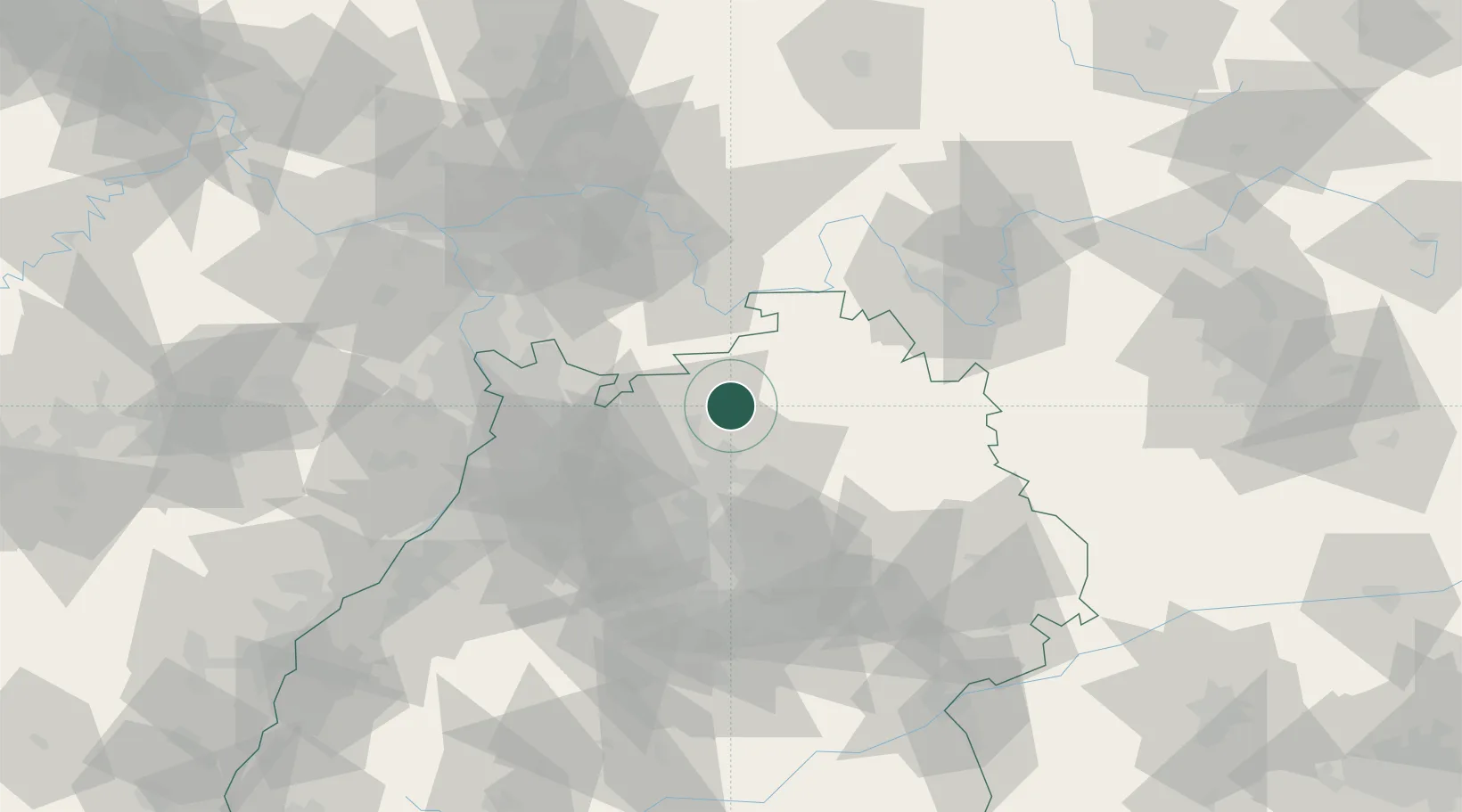
Region
BW
Location
Nearby Logistics Neighbours
Cities
- 1Grosseichholzheim6 km
- 2Seckach7 km
- 3Sennfeld9 km
- 4Adelsheim10 km
- 5Mosbach11 km
Airports
- 1Adolf Würth Airport49 km
- 2Niederstetten Army Air Base50 km
- 3Mannheim-City Airport55 km
- 4Frankfurt-Egelsbach Airport77 km
- 5Stuttgart Airport79 km
Trade Zones
- 1ZFU Neuhof146 km
- 2ZFU Hautepierre146 km
- 3ZFU La Cité Behren-lès-Forbach172 km
- 4Luxembourg Free Port221 km
- 5ZFU Metz228 km
DatabookThe Record of Consolidated Knowledge
Germany beyond logistics?