Transport Functions
Rail
Road
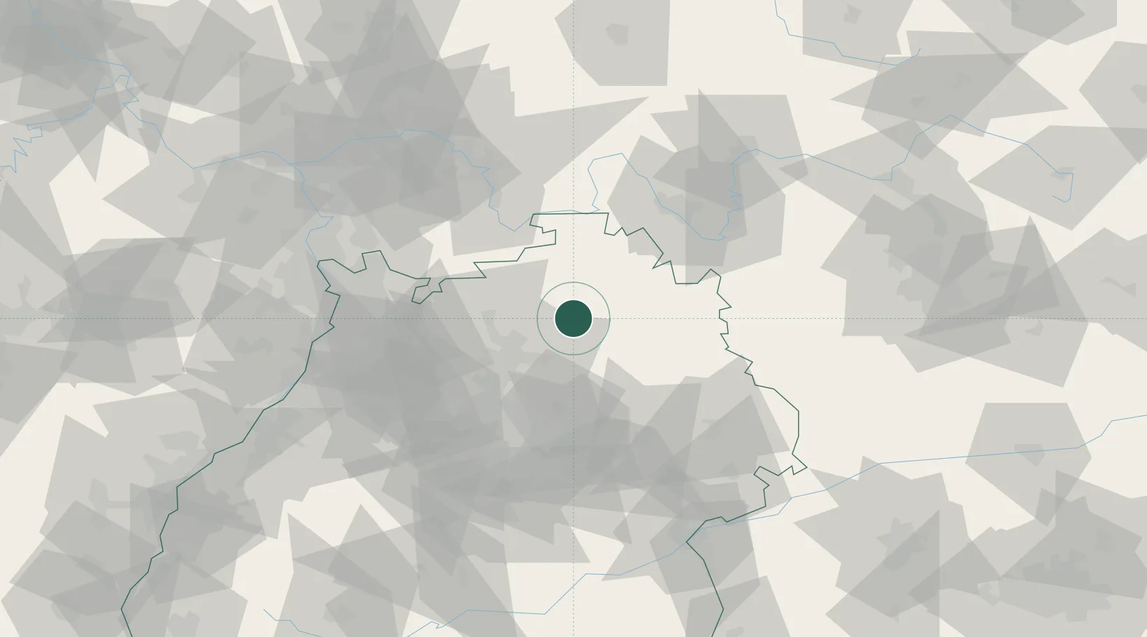
Hub Profile
Place type
Populated place
Region
Baden-Wurttemberg
Time zone
Europe/Berlin
Elevation
666 m
Location
Nearby Logistics Neighbours
Cities
- 1Jagsthausen4 km
- 2Weissbach (Hohenlohe)8 km
- 3Adelsheim9 km
- 4Sennfeld9 km
- 5Niedernhall10 km
Airports
- 1Adolf Würth Airport32 km
- 2Niederstetten Army Air Base34 km
- 3Mannheim-City Airport73 km
- 4Stuttgart Airport74 km
- 5Frankfurt-Egelsbach Airport93 km
Trade Zones
- 1ZFU Neuhof155 km
- 2ZFU Hautepierre155 km
- 3ZFU La Cité Behren-lès-Forbach188 km
- 4ZFU Mulhouse237 km
- 5Luxembourg Free Port239 km
DatabookThe Record of Consolidated Knowledge
Germany beyond logistics?