Transport Functions
Multimodal
Hub Profile
Place type
Populated place
Region
Baden-Wurttemberg
Population
5,536
Time zone
Europe/Berlin
Elevation
232 m
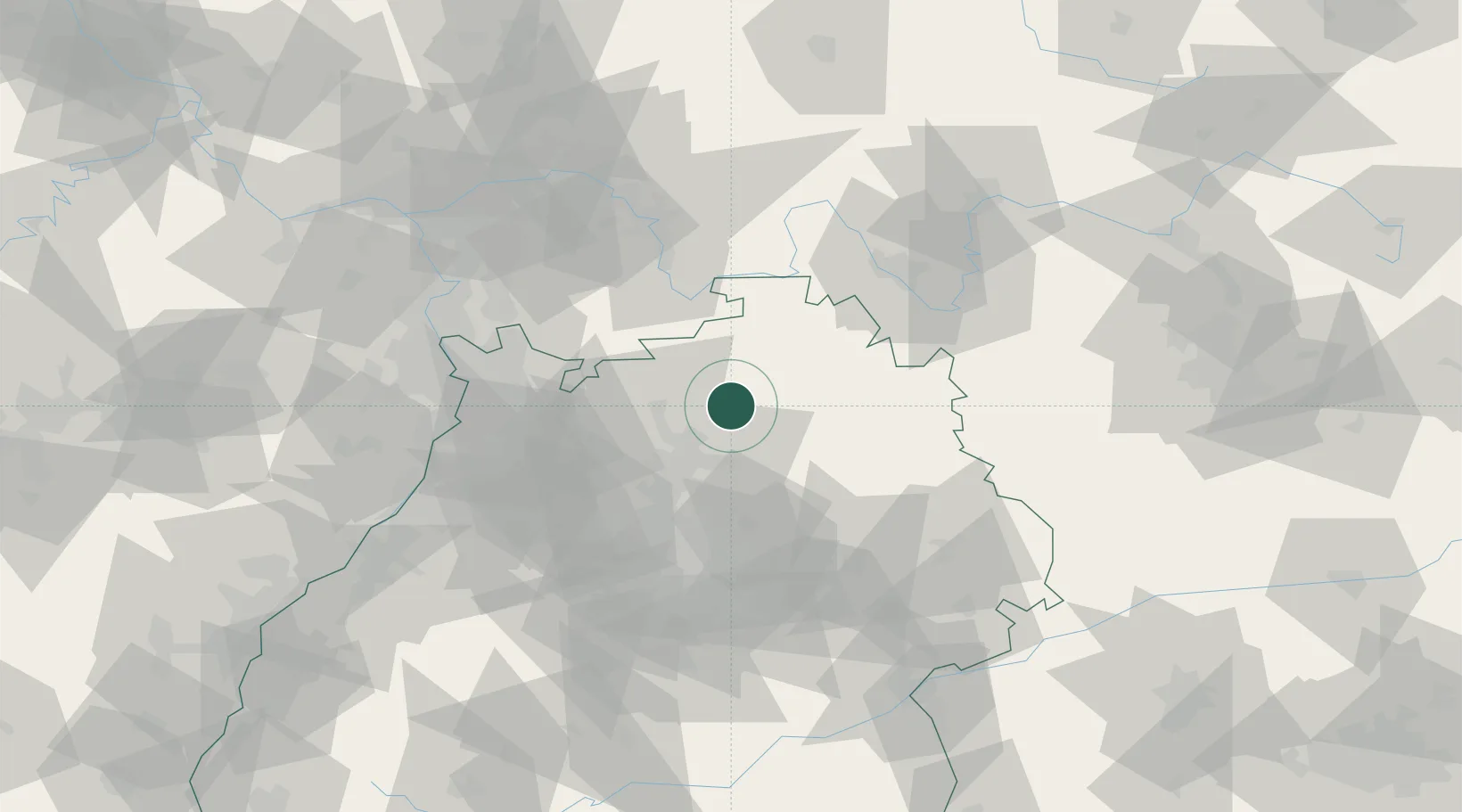
Location
Nearby Logistics Neighbours
Cities
- 1Sennfeld2 km
- 2Siglingen8 km
- 3Jagsthausen8 km
- 4Schöntal9 km
- 5Schefflenz10 km
Airports
- 1Adolf Würth Airport39 km
- 2Niederstetten Army Air Base42 km
- 3Mannheim-City Airport64 km
- 4Stuttgart Airport74 km
- 5Frankfurt-Egelsbach Airport86 km
Trade Zones
- 1ZFU Neuhof149 km
- 2ZFU Hautepierre149 km
- 3ZFU La Cité Behren-lès-Forbach179 km
- 4Luxembourg Free Port231 km
- 5ZFU Mulhouse233 km
DatabookThe Record of Consolidated Knowledge
Germany beyond logistics?