Transport Functions
Multimodal
Hub Profile
Place type
Local administrative seat
Region
Baden-Wurttemberg
Population
1,500
Time zone
Europe/Berlin
Elevation
218 m
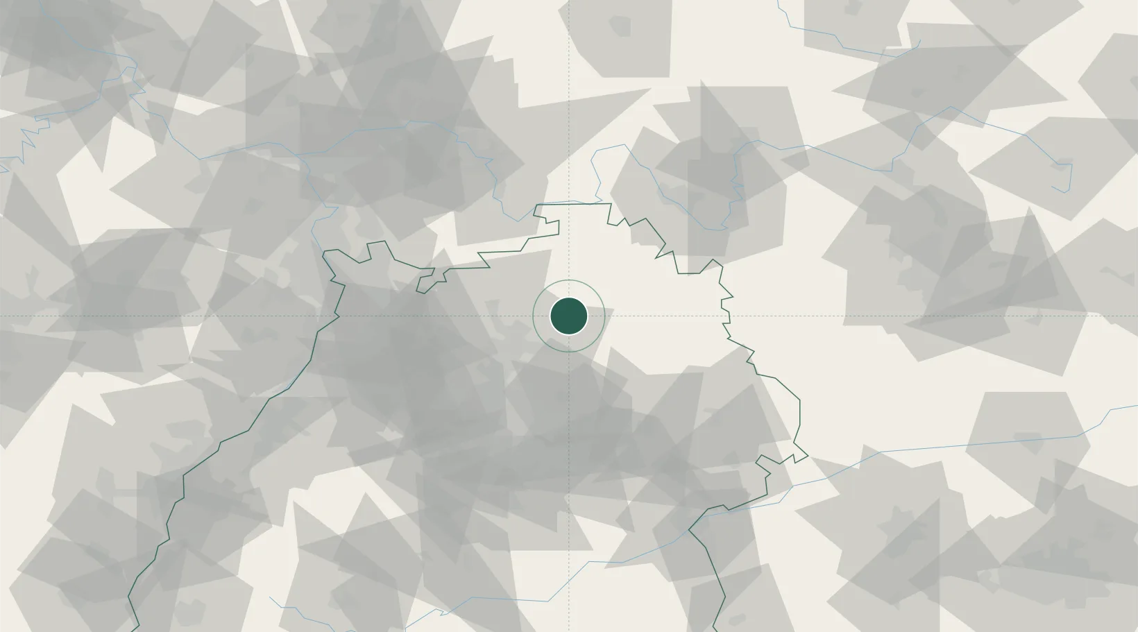
Location
Nearby Logistics Neighbours
Cities
- 1Schöntal4 km
- 2Möglingen8 km
- 3Adelsheim8 km
- 4Sennfeld10 km
- 5Weissbach (Hohenlohe)10 km
Airports
- 1Adolf Würth Airport31 km
- 2Niederstetten Army Air Base37 km
- 3Stuttgart Airport70 km
- 4Mannheim-City Airport72 km
- 5Frankfurt-Egelsbach Airport94 km
Trade Zones
- 1ZFU Neuhof150 km
- 2ZFU Hautepierre152 km
- 3ZFU La Cité Behren-lès-Forbach185 km
- 4ZFU Mulhouse233 km
- 5Luxembourg Free Port238 km
DatabookThe Record of Consolidated Knowledge
Germany beyond logistics?