Transport Functions
Multimodal
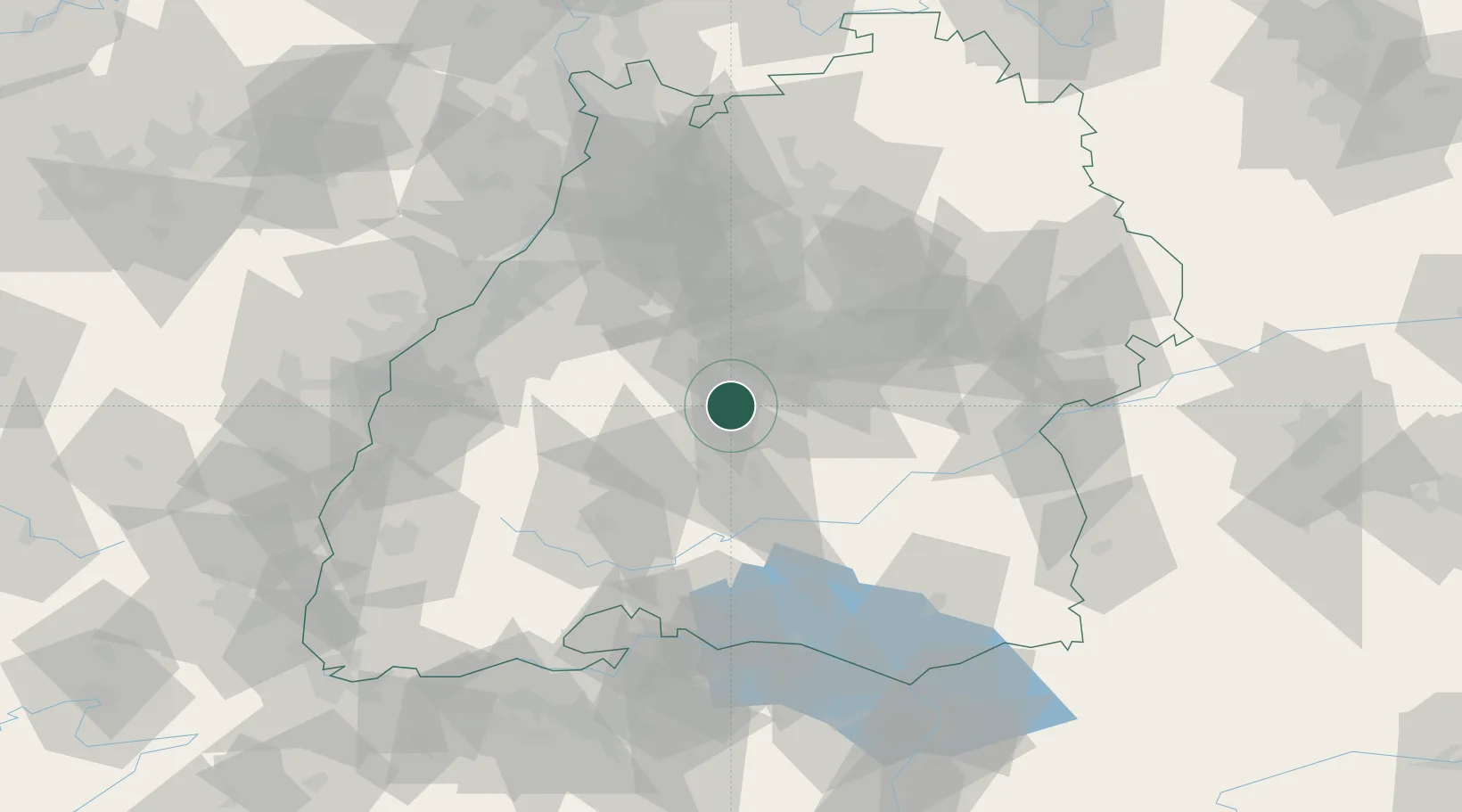
Hub Profile
Region
BW
Location
Nearby Logistics Neighbours
Cities
- 1Dusslingen8 km
- 2Nehren9 km
- 3Bondorf/Boblingen10 km
- 4Kusterdingen14 km
- 5Wannweil16 km
Ports
- 1Bruxelles425 km
- 2Porto Di Lido-Venezia430 km
- 3Nogaro439 km
- 4Porto Di Chioggia441 km
- 5Antwerpen447 km
Airports
Trade Zones
- 1ZFU Neuhof88 km
- 2ZFU Hautepierre94 km
- 3ZFU Mulhouse144 km
- 4ZFU La Cité Behren-lès-Forbach167 km
- 5ZFU Belfort184 km
DatabookThe Record of Consolidated Knowledge
Germany beyond logistics?