Transport Functions
Rail
Road
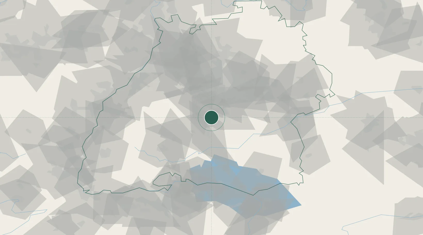
Hub Profile
Place type
Local administrative seat
Region
Baden-Wurttemberg
Population
4,159
Time zone
Europe/Berlin
Elevation
424 m
Location
Nearby Logistics Neighbours
Cities
- 1Dusslingen2 km
- 2Rottenburg am Neckar9 km
- 3Kusterdingen10 km
- 4Wannweil11 km
- 5Kirchentellinsfurt13 km
Ports
- 1Porto Di Lido-Venezia422 km
- 2Nogaro430 km
- 3Porto Di Chioggia433 km
- 4Bruxelles434 km
- 5Grado442 km
Airports
Trade Zones
- 1ZFU Neuhof97 km
- 2ZFU Hautepierre103 km
- 3ZFU Mulhouse149 km
- 4ZFU La Cité Behren-lès-Forbach177 km
- 5ZFU Belfort190 km
DatabookThe Record of Consolidated Knowledge
Germany beyond logistics?