Medium airport · Germany
Laupheim Air BaseETHL
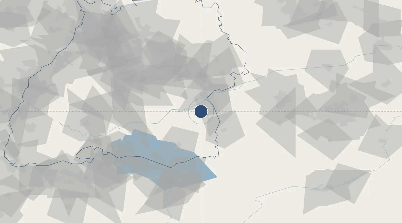
48.2203°, 9.9100°
5,400 ft
Longest runway
2
Runways
1,766 ft
Elevation
Runway & Layout

Radio Frequencies
TWR
42.4 MHz
LIMA TWR
A/G
42.4 MHz
ACC
129.45 MHz
MUNCHEN CON
RDR
34.4 MHz
LIMA RADAR
RDR
119.1 MHz
LIMA RADAR
Navaids
LUP NDB Laupheim 407 kHz
Runways · 2
| Runway | Dimensions | Surface | True heading | Lit |
|---|---|---|---|---|
| 09/27 | 5,400 × 98ft | Asphalt | 093° | ✓ |
| 03/21 | 1,968 × 164ft | Grass | 034° | — |
Airport Specifications
ICAO code
ETHL
Airport class
Medium airport
Scheduled service
No
Runway surface
Asphalt
Served city
Laupheim
Location
Nearby Logistics Neighbours
Airports
- 1Memmingen Allgau Airport36 km
- 2Mengen-Hohentengen Airfield44 km
- 3Bodensee Airport Friedrichshafen68 km
- 4Lechfeld Air Base71 km
- 5Stuttgart Airport73 km
Cities
- 1Burgrieden2 km
- 2Achstetten5 km
- 3Schemmerberg8 km
- 4Dellmensingen9 km
- 5Wain9 km
Ports
- 1Porto Di Lido-Venezia366 km
- 2Nogaro369 km
- 3Porto Di Chioggia379 km
- 4Grado381 km
- 5Monfalcone387 km
Trade Zones
- 1ZFU Neuhof163 km
- 2ZFU Hautepierre169 km
- 3Livigno Free Trade Zone188 km
- 4ZFU Mulhouse199 km
- 5ZFU Belfort240 km
DatabookThe Record of Consolidated Knowledge
Germany beyond logistics?