Transport Functions
Rail
Road
Hub Profile
Place type
Local administrative seat
Region
Baden-Wurttemberg
Population
8,282
Time zone
Europe/Berlin
Elevation
409 m
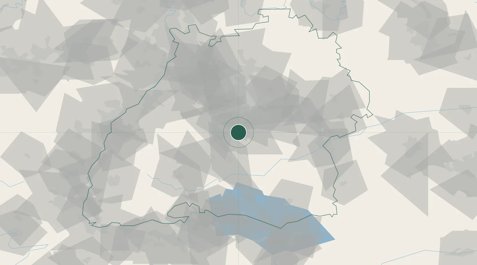
Location
Nearby Logistics Neighbours
Cities
- 1Wannweil3 km
- 2Kirchentellinsfurt3 km
- 3Pliezhausen7 km
- 4Dusslingen9 km
- 5Nehren10 km
Ports
- 1Porto Di Lido-Venezia427 km
- 2Bruxelles431 km
- 3Nogaro433 km
- 4Porto Di Chioggia438 km
- 5Grado445 km
Airports
Trade Zones
- 1ZFU Neuhof100 km
- 2ZFU Hautepierre105 km
- 3ZFU Mulhouse157 km
- 4ZFU La Cité Behren-lès-Forbach176 km
- 5ZFU Belfort197 km
DatabookThe Record of Consolidated Knowledge
Germany beyond logistics?