Transport Functions
Port
Rail
Road
Hub Profile
Place type
Local administrative seat
Region
Baden-Wurttemberg
Population
5,286
Time zone
Europe/Berlin
Elevation
379 m
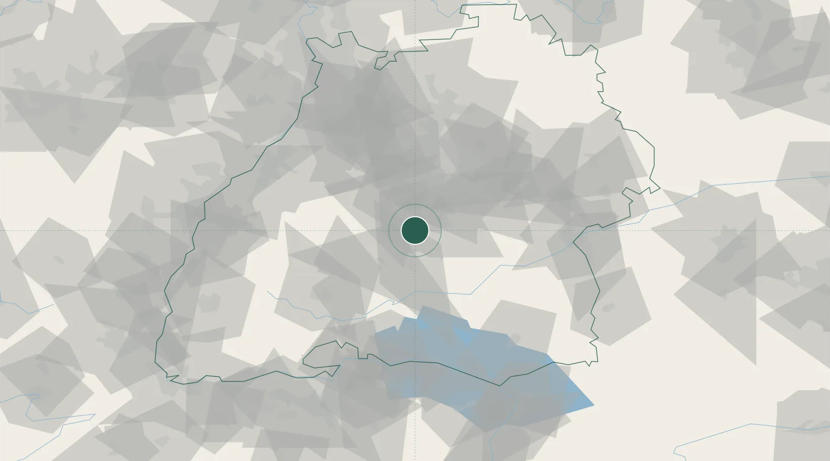
Location
Nearby Logistics Neighbours
Cities
- 1Nehren2 km
- 2Rottenburg am Neckar8 km
- 3Kusterdingen9 km
- 4Wannweil11 km
- 5Kirchentellinsfurt12 km
Ports
- 1Porto Di Lido-Venezia424 km
- 2Nogaro432 km
- 3Bruxelles432 km
- 4Porto Di Chioggia435 km
- 5Grado444 km
Airports
Trade Zones
- 1ZFU Neuhof95 km
- 2ZFU Hautepierre101 km
- 3ZFU Mulhouse149 km
- 4ZFU La Cité Behren-lès-Forbach175 km
- 5ZFU Belfort189 km
DatabookThe Record of Consolidated Knowledge
Germany beyond logistics?