Transport Functions
Multimodal
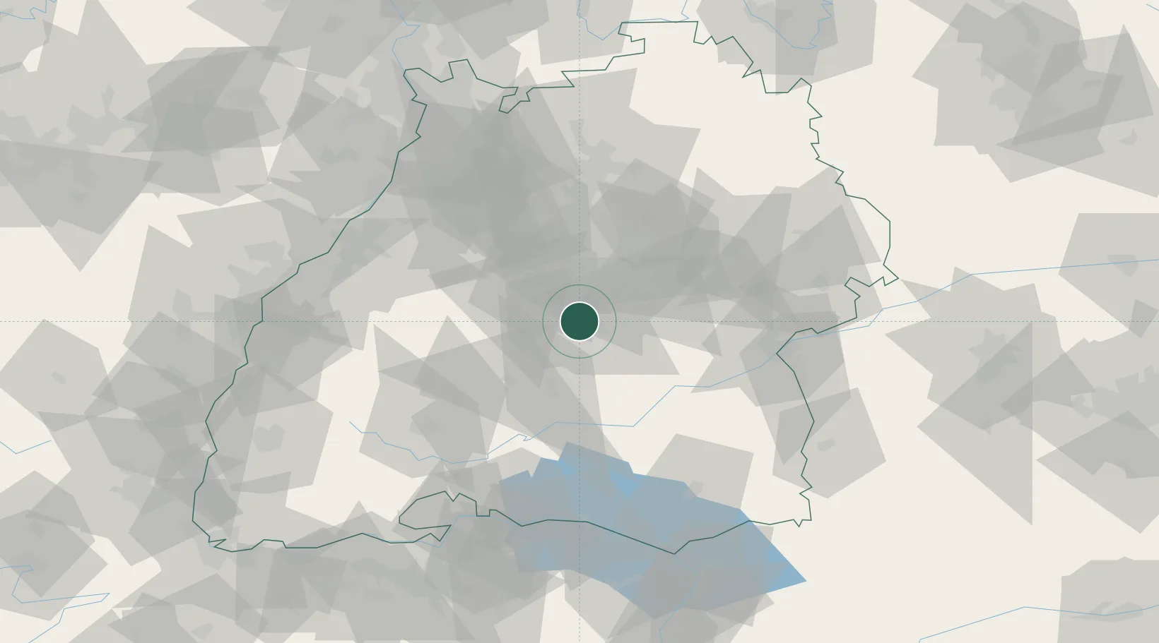
Hub Profile
Place type
Local administrative seat
Region
Baden-Wurttemberg
Population
5,092
Time zone
Europe/Berlin
Elevation
320 m
Location
Nearby Logistics Neighbours
Cities
- 1Kirchentellinsfurt2 km
- 2Kusterdingen3 km
- 3Pliezhausen5 km
- 4Eningen unter Achalm8 km
- 5Dusslingen11 km
Ports
- 1Porto Di Lido-Venezia425 km
- 2Nogaro432 km
- 3Bruxelles433 km
- 4Porto Di Chioggia437 km
- 5Grado444 km
Airports
- 1Stuttgart Airport20 km
- 2Mengen-Hohentengen Airfield54 km
- 3Laupheim Air Base65 km
- 4Donaueschingen-Villingen Airfield76 km
- 5Adolf Würth Airport81 km
Trade Zones
- 1ZFU Neuhof102 km
- 2ZFU Hautepierre108 km
- 3ZFU Mulhouse159 km
- 4ZFU La Cité Behren-lès-Forbach178 km
- 5ZFU Belfort199 km
DatabookThe Record of Consolidated Knowledge
Germany beyond logistics?