Transport Functions
Multimodal
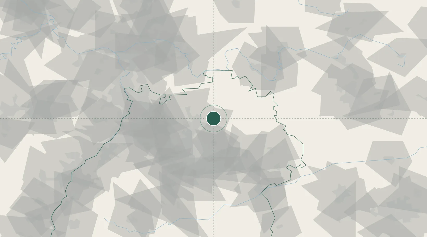
Hub Profile
Place type
Populated place
Region
Baden-Wurttemberg
Time zone
Europe/Berlin
Elevation
177 m
Location
Nearby Logistics Neighbours
Cities
- 1Neuenstadt am Kocher7 km
- 2Jagsthausen8 km
- 3Eberstadt11 km
- 4Schöntal12 km
- 5Siglingen12 km
Airports
- 1Adolf Würth Airport29 km
- 2Niederstetten Army Air Base42 km
- 3Stuttgart Airport62 km
- 4Mannheim-City Airport72 km
- 5Frankfurt-Egelsbach Airport99 km
Trade Zones
- 1ZFU Neuhof144 km
- 2ZFU Hautepierre146 km
- 3ZFU La Cité Behren-lès-Forbach182 km
- 4ZFU Mulhouse226 km
- 5Luxembourg Free Port237 km
DatabookThe Record of Consolidated Knowledge
Germany beyond logistics?