Transport Functions
Multimodal
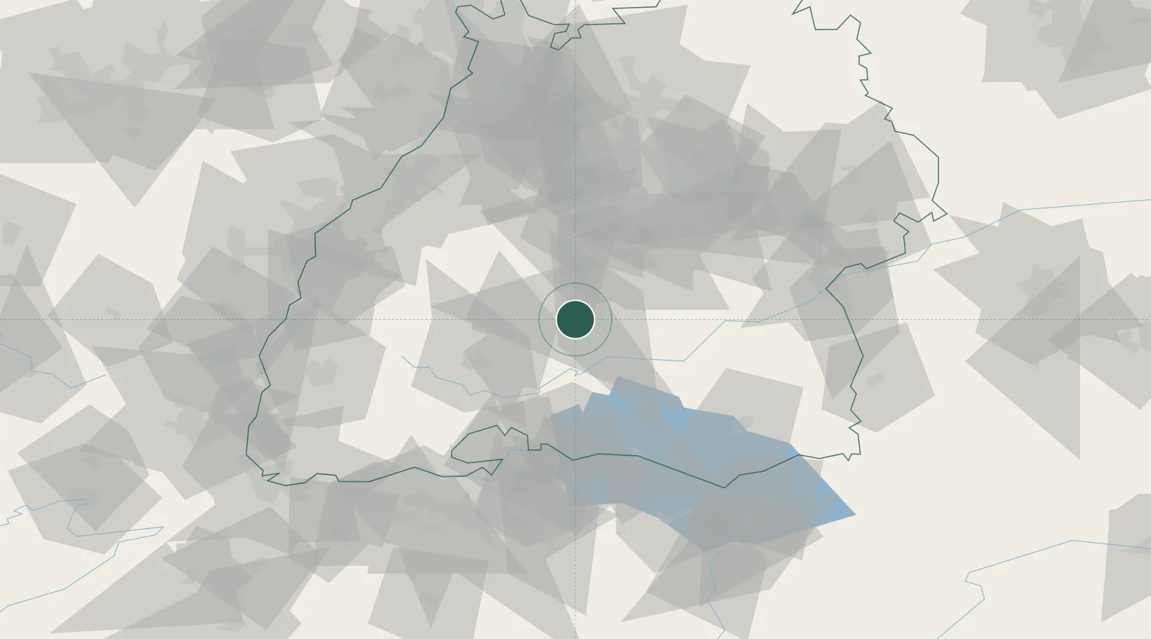
Hub Profile
Place type
Populated place
Region
Baden-Wurttemberg
Time zone
Europe/Berlin
Elevation
614 m
Location
Nearby Logistics Neighbours
Cities
- 1Dotternhausen9 km
- 2Dormettingen11 km
- 3jungingen11 km
- 4Bitz12 km
- 5Nusplingen14 km
Ports
- 1Porto Di Lido-Venezia413 km
- 2Porto Di Chioggia423 km
- 3Nogaro425 km
- 4Genova428 km
- 5Grado437 km
Airports
Trade Zones
- 1ZFU Neuhof91 km
- 2ZFU Hautepierre98 km
- 3ZFU Mulhouse130 km
- 4ZFU Belfort171 km
- 5ZFU La Cité Behren-lès-Forbach178 km
DatabookThe Record of Consolidated Knowledge
Germany beyond logistics?