Transport Functions
Rail
Road
Hub Profile
Place type
Local administrative seat
Region
Baden-Wurttemberg
Population
1,469
Time zone
Europe/Berlin
Elevation
590 m
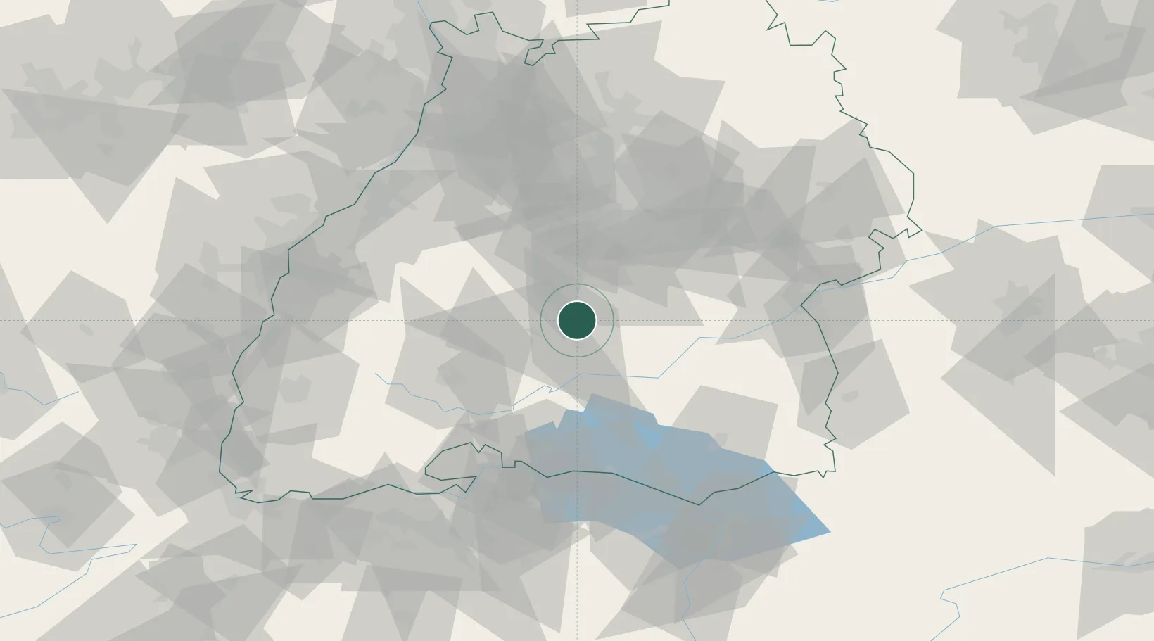
Location
Nearby Logistics Neighbours
Cities
- 1Burladingen7 km
- 2Bitz8 km
- 3Horgen11 km
- 4Nehren13 km
- 5Neufra13 km
Ports
- 1Porto Di Lido-Venezia413 km
- 2Nogaro423 km
- 3Porto Di Chioggia424 km
- 4Grado435 km
- 5Genova436 km
Airports
Trade Zones
- 1ZFU Neuhof97 km
- 2ZFU Hautepierre104 km
- 3ZFU Mulhouse141 km
- 4ZFU La Cité Behren-lès-Forbach181 km
- 5ZFU Belfort182 km
DatabookThe Record of Consolidated Knowledge
Germany beyond logistics?