Transport Functions
Port
Multimodal
Hub Profile
Place type
Local administrative seat
Region
Baden-Wurttemberg
Time zone
Europe/Berlin
Elevation
721 m
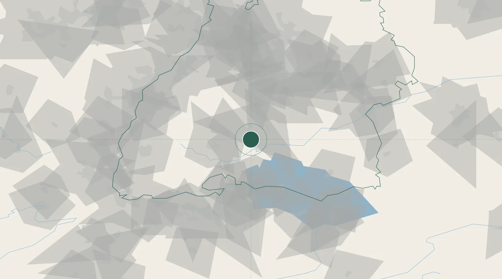
Location
Nearby Logistics Neighbours
Cities
- 1Königsheim4 km
- 2Bubsheim4 km
- 3Wehingen5 km
- 4Schwenningen11 km
- 5Dotternhausen12 km
Ports
- 1Porto Di Lido-Venezia406 km
- 2Porto Di Chioggia415 km
- 3Genova415 km
- 4Nogaro420 km
- 5Savona425 km
Airports
Trade Zones
- 1ZFU Neuhof93 km
- 2ZFU Hautepierre101 km
- 3ZFU Mulhouse122 km
- 4ZFU Belfort163 km
- 5ZFU Montbéliard170 km
DatabookThe Record of Consolidated Knowledge
Germany beyond logistics?