Transport Functions
Rail
Road
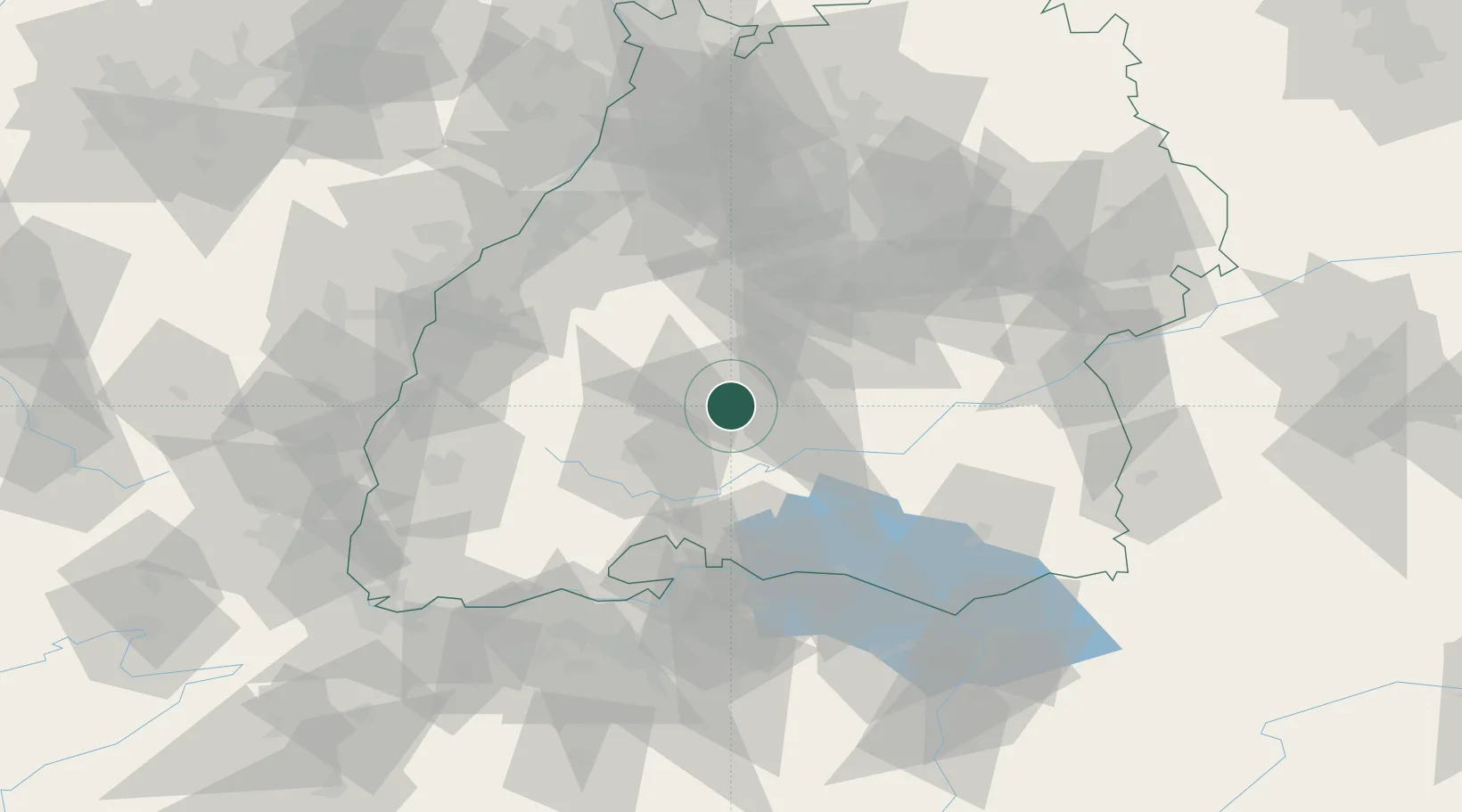
Hub Profile
Place type
Local administrative seat
Region
Baden-Wurttemberg
Population
1,784
Time zone
Europe/Berlin
Elevation
650 m
Location
Nearby Logistics Neighbours
Cities
- 1Dormettingen3 km
- 2Horgen9 km
- 3Wehingen9 km
- 4Nusplingen12 km
- 5Bubsheim13 km
Ports
- 1Porto Di Lido-Venezia418 km
- 2Genova427 km
- 3Porto Di Chioggia427 km
- 4Nogaro430 km
- 5Bruxelles434 km
Airports
- 1Donaueschingen-Villingen Airfield36 km
- 2Mengen-Hohentengen Airfield47 km
- 3Stuttgart Airport60 km
- 4Lahr Airport74 km
- 5Karlsruhe Baden-Baden Airport81 km
Trade Zones
- 1ZFU Neuhof84 km
- 2ZFU Hautepierre91 km
- 3ZFU Mulhouse122 km
- 4ZFU Belfort162 km
- 5ZFU Montbéliard171 km
DatabookThe Record of Consolidated Knowledge
Germany beyond logistics?