Transport Functions
Multimodal
Hub Profile
Place type
Local administrative seat
Region
Baden-Wurttemberg
Population
3,792
Time zone
Europe/Berlin
Elevation
883 m
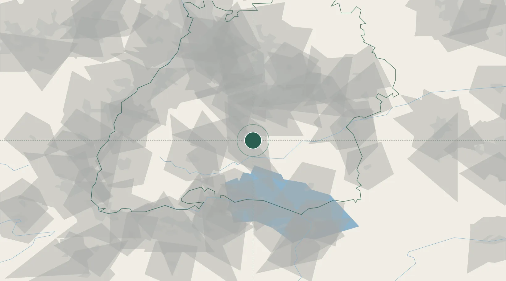
Location
Nearby Logistics Neighbours
Cities
- 1Burladingen5 km
- 2Neufra7 km
- 3jungingen8 km
- 4Hettingen9 km
- 5Horgen12 km
Ports
- 1Porto Di Lido-Venezia405 km
- 2Nogaro415 km
- 3Porto Di Chioggia415 km
- 4Grado428 km
- 5Genova429 km
Airports
Trade Zones
- 1ZFU Neuhof103 km
- 2ZFU Hautepierre110 km
- 3ZFU Mulhouse141 km
- 4ZFU Belfort182 km
- 5ZFU La Cité Behren-lès-Forbach188 km
DatabookThe Record of Consolidated Knowledge
Germany beyond logistics?