Large airport · Germany
Bodensee Airport FriedrichshafenEDNY
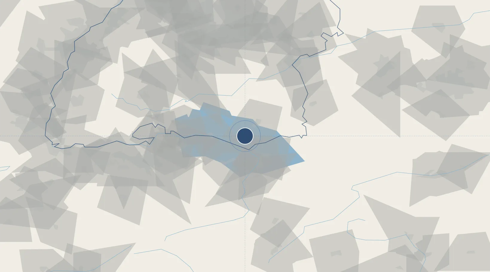
47.6713°, 9.5115°
7,729 ft
Longest runway
1
Runways
1,367 ft
Elevation
Runway & Layout

Radio Frequencies
ATIS
129.605 MHz
Friedrichsfafen ATIS
TWR
120.08 MHz
Friedrichsfafen Tower / Turm
Twr
134.305 MHz
Friedrichsfafen Tower / Turm
APP
119.925 MHz
ZURICH ARR
AFIS
124.7 MHz
ZURICH INFORMATION
Navaids
FHA NDB Friedrichshafen 473 kHz
FHD DME Friedrichshafen 112.60 MHz
Runways · 1
| Runway | Dimensions | Surface | True heading | Lit |
|---|---|---|---|---|
| 06/24 | 7,729 × 148ft | Asphalt | 060° | ✓ |
Airport Specifications
IATA code
FDH
ICAO code
EDNY
Airport class
Large airport
Scheduled service
Yes
Runway surface
Asphalt
Served city
Friedrichshafen
Location
Nearby Logistics Neighbours
Airports
- 1Sankt Gallen Altenrhein Airport21 km
- 2Mengen-Hohentengen Airfield44 km
- 3Memmingen Allgau Airport65 km
- 4Laupheim Air Base68 km
- 5Dübendorf Air Base72 km
Cities
- 1Eriskirch5 km
- 2Appenweiler7 km
- 3Kressbronn am Bodensee10 km
- 4Nonnenhorn13 km
- 5Bernried13 km
Ports
- 1Porto Di Lido-Venezia336 km
- 2Porto Di Chioggia345 km
- 3Nogaro351 km
- 4Grado363 km
- 5Genova367 km
Trade Zones
- 1Livigno Free Trade Zone134 km
- 2ZFU Neuhof162 km
- 3ZFU Mulhouse163 km
- 4ZFU Hautepierre170 km
- 5ZFU Belfort203 km
DatabookThe Record of Consolidated Knowledge
Germany beyond logistics?