Transport Functions
Multimodal
Hub Profile
Region
ST
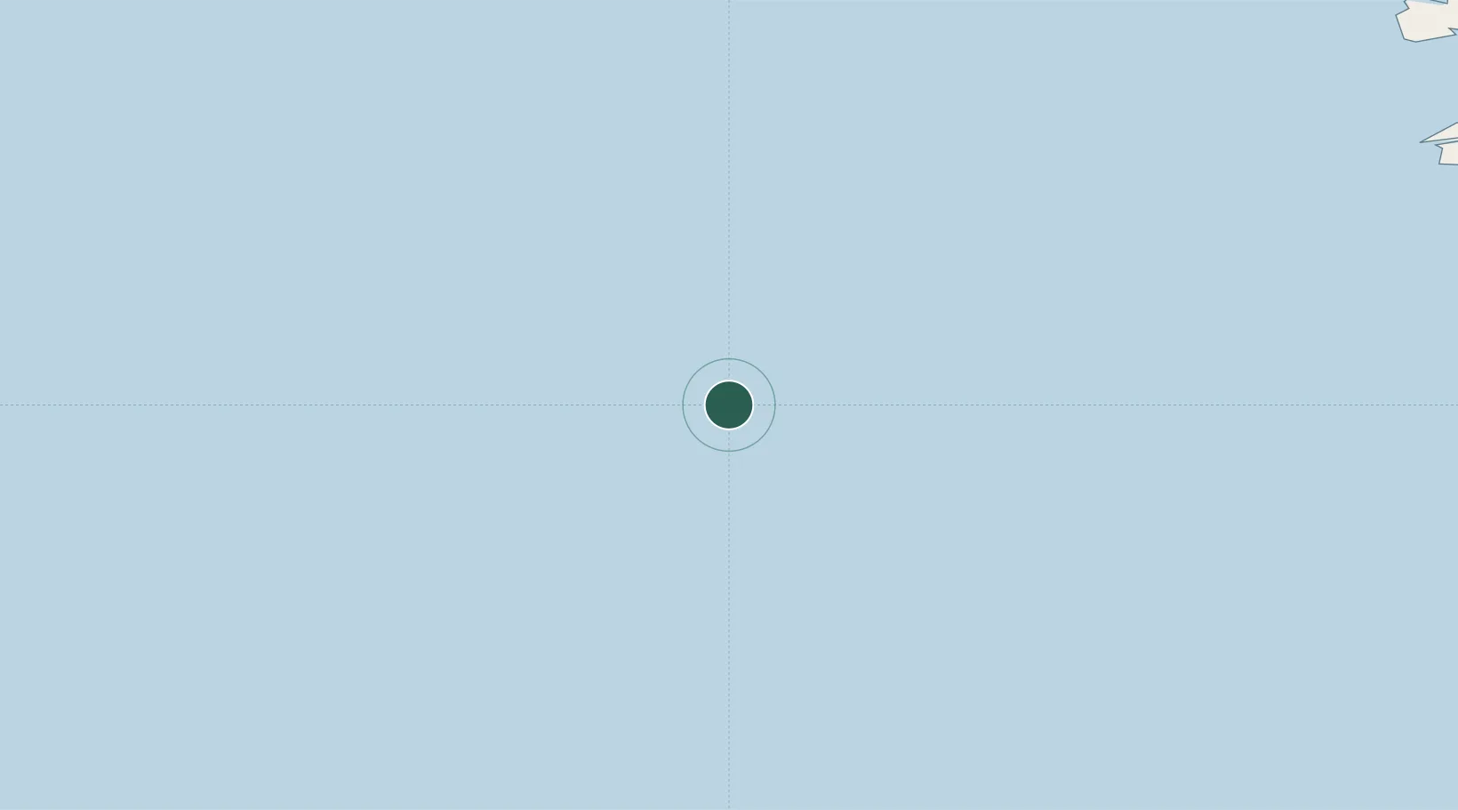
Location
Nearby Logistics Neighbours
Cities
- 1Kidlington56 km
- 2Schönheide106 km
- 3Cahirciveen131 km
- 4Castletown Bearhaven138 km
- 5Ballydavid141 km
Ports
- 1Castletown Bearhaven138 km
- 2Bantry170 km
- 3Fenit170 km
- 4Kilrush215 km
- 5Tarbert219 km
Airports
- 1Kerry Airport185 km
- 2Cork International Airport238 km
- 3Inishmore Aerodrome246 km
- 4Inishmaan Aerodrome248 km
- 5Inisheer Aerodrome249 km
Trade Zones
DatabookThe Record of Consolidated Knowledge
Germany beyond logistics?