Transport Functions
Multimodal
Hub Profile
Place type
Local administrative seat
Region
Lower Saxony
Population
1,132
Time zone
Europe/Berlin
Elevation
41 m
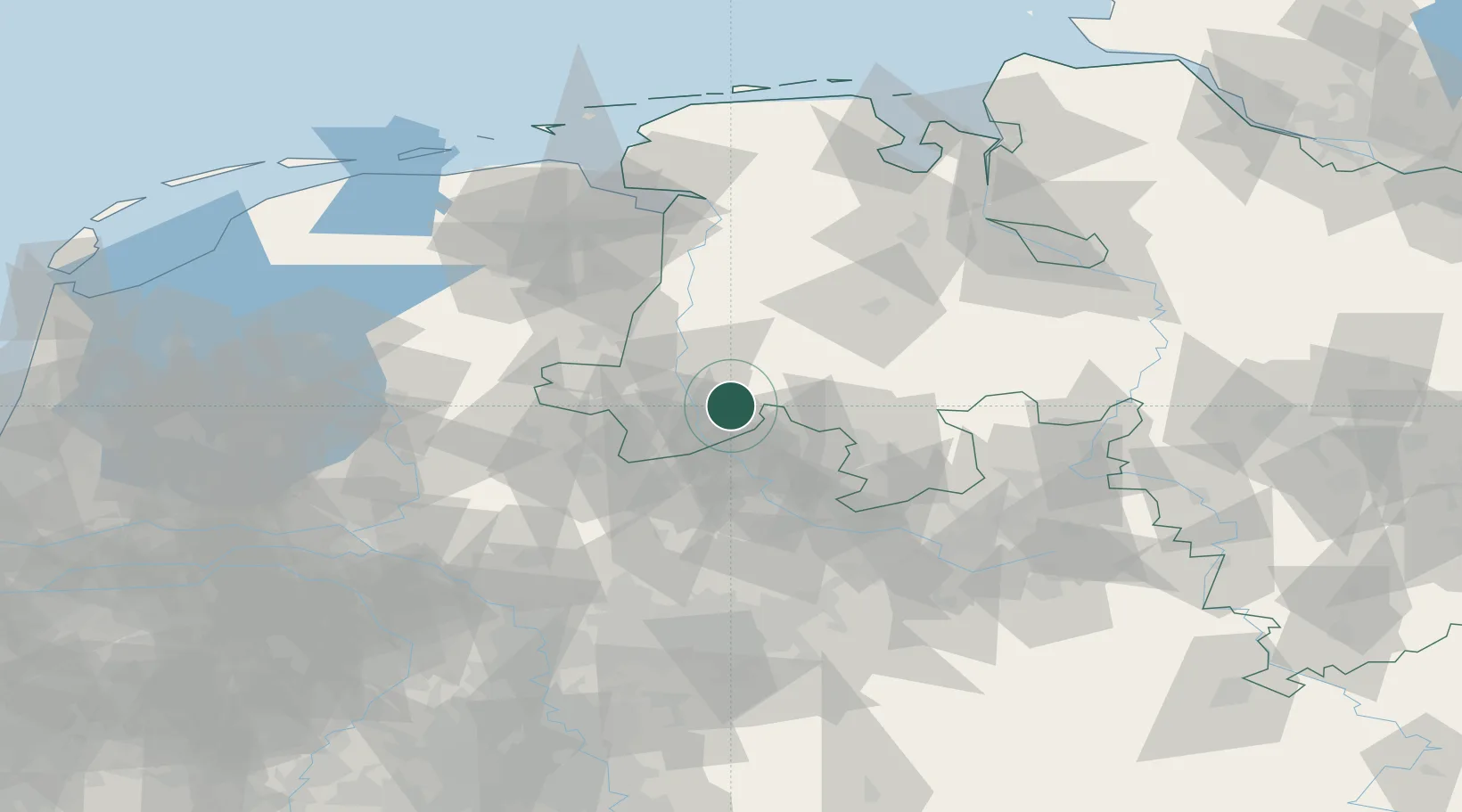
Location
Nearby Logistics Neighbours
Cities
- 1Hesselte8 km
- 2Langen (Emsland)9 km
- 3Lengerich10 km
- 4Kunkemühle10 km
- 5Schapen12 km
Airports
- 1Münster Osnabrück Airport40 km
- 2Twente Airport45 km
- 3Diepholz Air Base61 km
- 4Bielefeld Airport92 km
- 5Groningen Airport Eelde94 km
Trade Zones
DatabookThe Record of Consolidated Knowledge
Germany beyond logistics?