Transport Functions
Multimodal
Hub Profile
Place type
Local administrative seat
Region
Lower Saxony
Population
2,444
Time zone
Europe/Berlin
Elevation
38 m
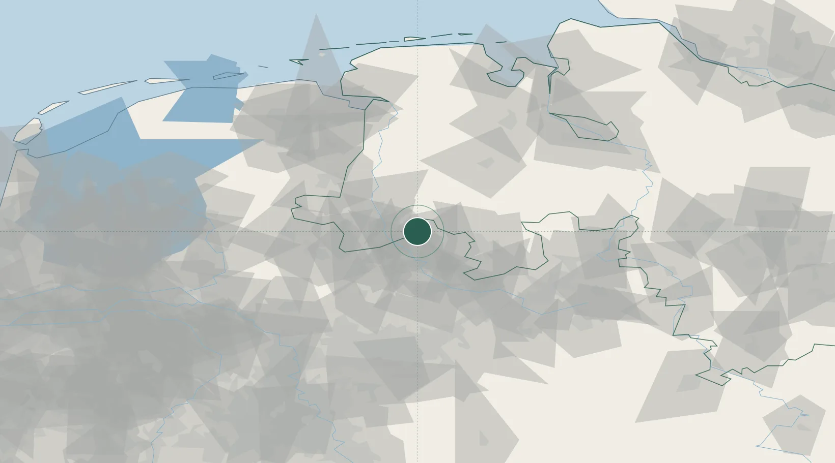
Location
Nearby Logistics Neighbours
Cities
- 1Venhaus9 km
- 2Recke10 km
- 3Messingen12 km
- 4Hesselte13 km
- 5Riesenbeck13 km
Airports
- 1Münster Osnabrück Airport29 km
- 2Twente Airport48 km
- 3Diepholz Air Base57 km
- 4Bielefeld Airport81 km
- 5Dortmund Airport96 km
Trade Zones
DatabookThe Record of Consolidated Knowledge
Germany beyond logistics?