Transport Functions
Port
Road
Hub Profile
Region
NI
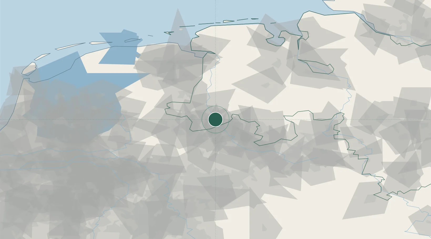
Location
Nearby Logistics Neighbours
Airports
- 1Twente Airport35 km
- 2Münster Osnabrück Airport37 km
- 3Diepholz Air Base69 km
- 4Bielefeld Airport94 km
- 5Groningen Airport Eelde96 km
Trade Zones
DatabookThe Record of Consolidated Knowledge
Germany beyond logistics?