Transport Functions
Port
Road
Hub Profile
Place type
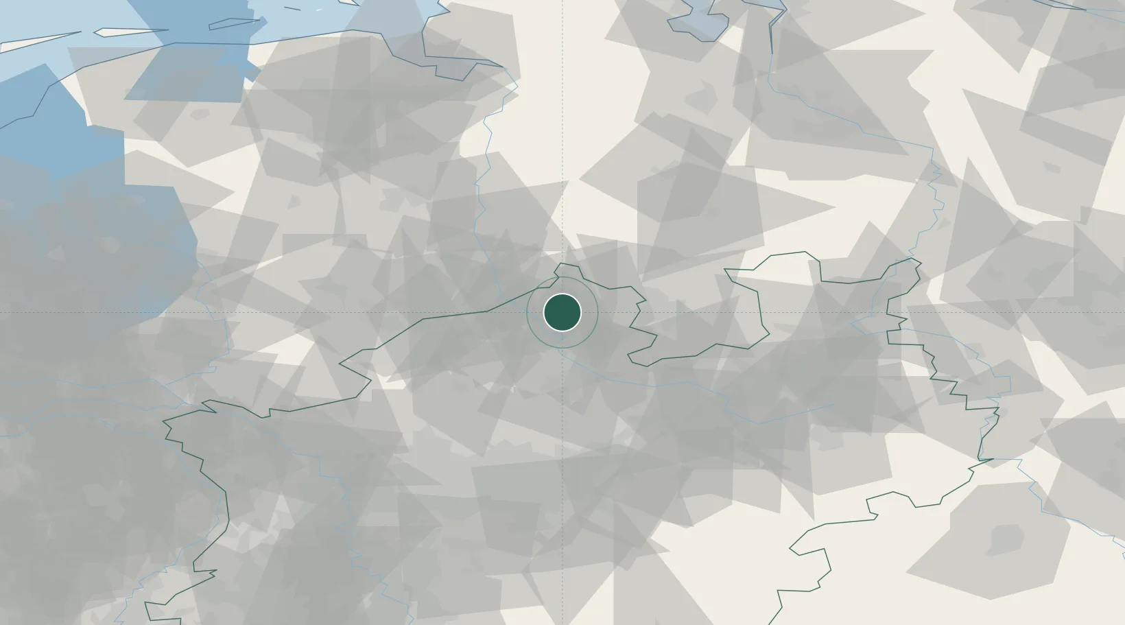
Populated place
Region
North Rhine-Westphalia
Time zone
Europe/Berlin
Elevation
50 m
Location
Nearby Logistics Neighbours
Cities
- 1Dorenthe7 km
- 2Schapen13 km
- 3Venhaus15 km
- 4Recke15 km
- 5Schmedehausen20 km
Airports
- 1Münster Osnabrück Airport16 km
- 2Twente Airport50 km
- 3Diepholz Air Base61 km
- 4Bielefeld Airport72 km
- 5Dortmund Airport83 km
Trade Zones
DatabookThe Record of Consolidated Knowledge
Germany beyond logistics?