Transport Functions
Port
Multimodal
Hub Profile
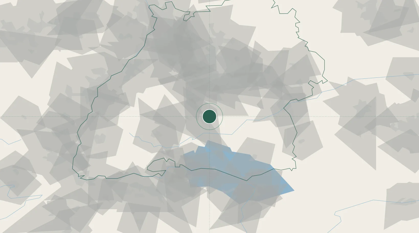
Place type
Populated place
Region
Baden-Wurttemberg
Population
13,131
Time zone
Europe/Berlin
Elevation
738 m
Location
Nearby Logistics Neighbours
Ports
- 1Porto Di Lido-Venezia406 km
- 2Nogaro416 km
- 3Porto Di Chioggia417 km
- 4Grado428 km
- 5Genova432 km
Airports
Trade Zones
- 1ZFU Neuhof104 km
- 2ZFU Hautepierre111 km
- 3ZFU Mulhouse145 km
- 4ZFU Belfort186 km
- 5ZFU La Cité Behren-lès-Forbach188 km
DatabookThe Record of Consolidated Knowledge
Germany beyond logistics?