Transport Functions
Rail
Road
Hub Profile
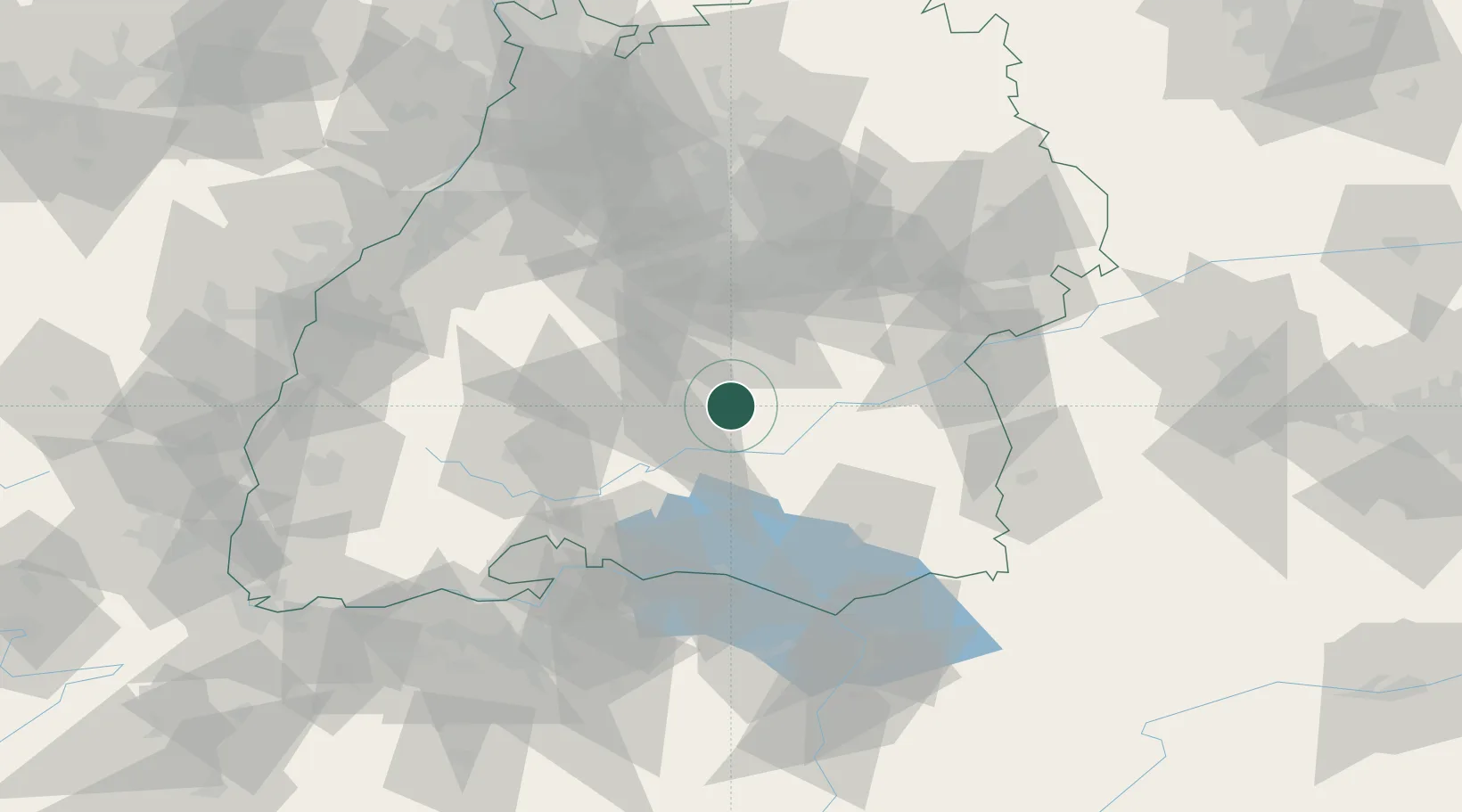
Place type
Populated place
Region
Baden-Wurttemberg
Population
2,059
Time zone
Europe/Berlin
Elevation
649 m
Location
Nearby Logistics Neighbours
Cities
- 1Neufra2 km
- 2Burladingen8 km
- 3Bitz9 km
- 4jungingen15 km
- 5Langenenslingen15 km
Ports
- 1Porto Di Lido-Venezia398 km
- 2Nogaro408 km
- 3Porto Di Chioggia409 km
- 4Grado420 km
- 5Genova427 km
Airports
Trade Zones
- 1ZFU Neuhof111 km
- 2ZFU Hautepierre118 km
- 3ZFU Mulhouse149 km
- 4ZFU Belfort190 km
- 5ZFU La Cité Behren-lès-Forbach196 km
DatabookThe Record of Consolidated Knowledge
Germany beyond logistics?