Transport Functions
Multimodal
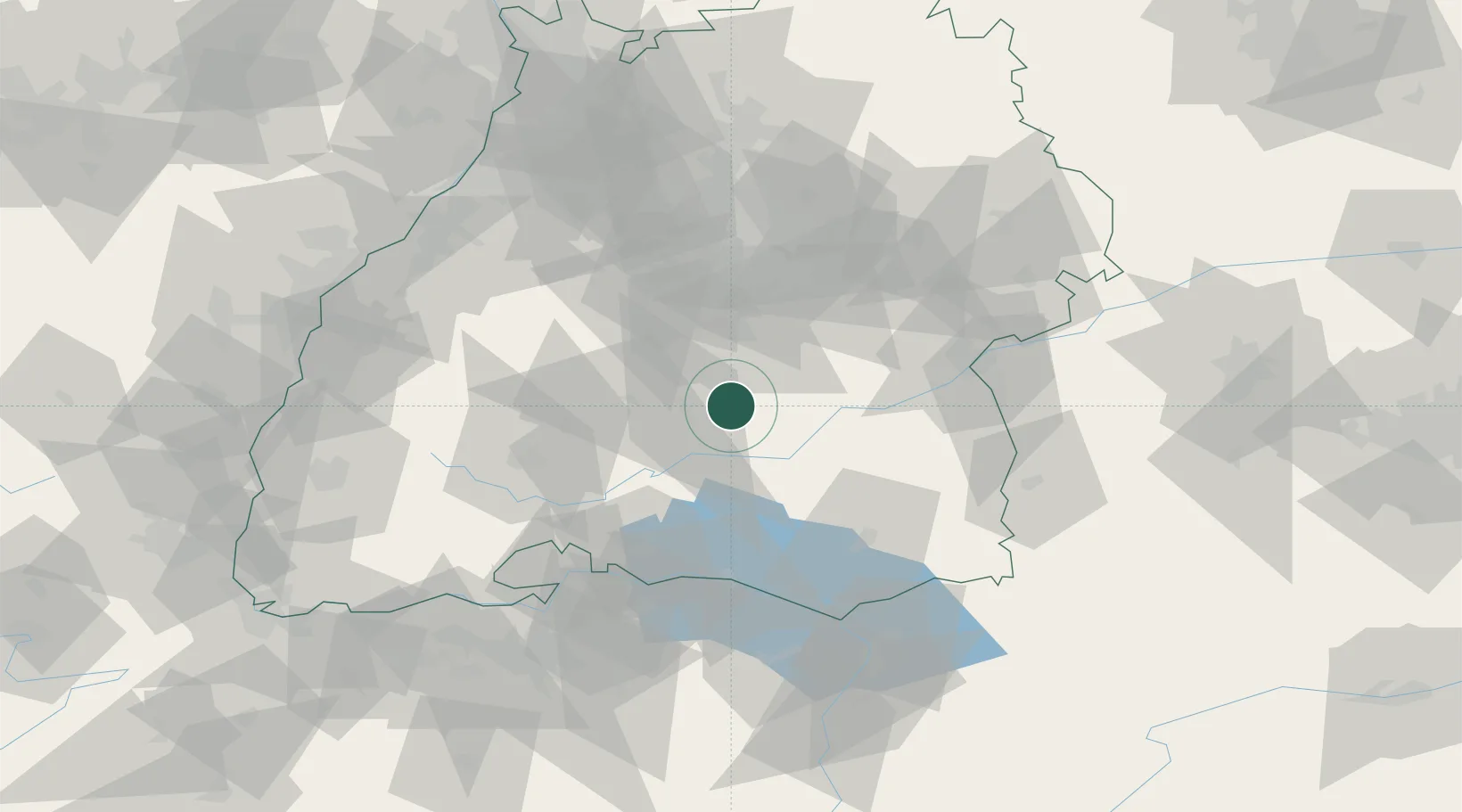
Hub Profile
Place type
Local administrative seat
Region
Baden-Wurttemberg
Time zone
Europe/Berlin
Elevation
681 m
Location
Nearby Logistics Neighbours
Cities
- 1Hettingen2 km
- 2Burladingen6 km
- 3Bitz7 km
- 4jungingen13 km
- 5Engstingen17 km
Ports
- 1Porto Di Lido-Venezia400 km
- 2Nogaro410 km
- 3Porto Di Chioggia411 km
- 4Grado422 km
- 5Genova429 km
Airports
Trade Zones
- 1ZFU Neuhof110 km
- 2ZFU Hautepierre117 km
- 3ZFU Mulhouse148 km
- 4ZFU Belfort189 km
- 5ZFU La Cité Behren-lès-Forbach194 km
DatabookThe Record of Consolidated Knowledge
Germany beyond logistics?