Transport Functions
Rail
Road
Hub Profile
Place type
Populated place
Region
North Rhine-Westphalia
Time zone
Europe/Berlin
Elevation
224 m
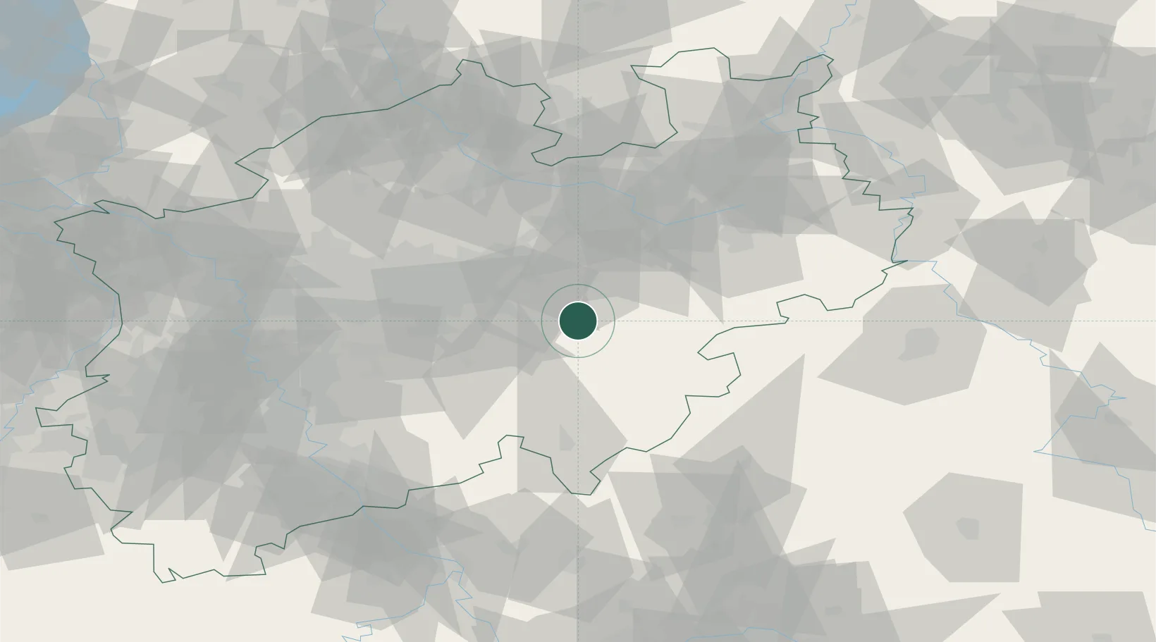
Location
Nearby Logistics Neighbours
Airports
- 1Dortmund Airport35 km
- 2Paderborn Lippstadt Airport44 km
- 3Bielefeld Airport70 km
- 4Siegerland Airport77 km
- 5Münster Osnabrück Airport86 km
Trade Zones
- 1Freeport of Duisburg104 km
- 2Rheinische Revier SWZ131 km
- 3Freeport of Bremerhaven (Freihafen Bremerhaven)194 km
- 4Freeport of Emden224 km
- 5Luxembourg Free Port236 km
DatabookThe Record of Consolidated Knowledge
Germany beyond logistics?