Transport Functions
Port
Rail
Road
Hub Profile
Place type
Provincial seat
Region
North Rhine-Westphalia
Population
76,612
Time zone
Europe/Berlin
Elevation
295 m
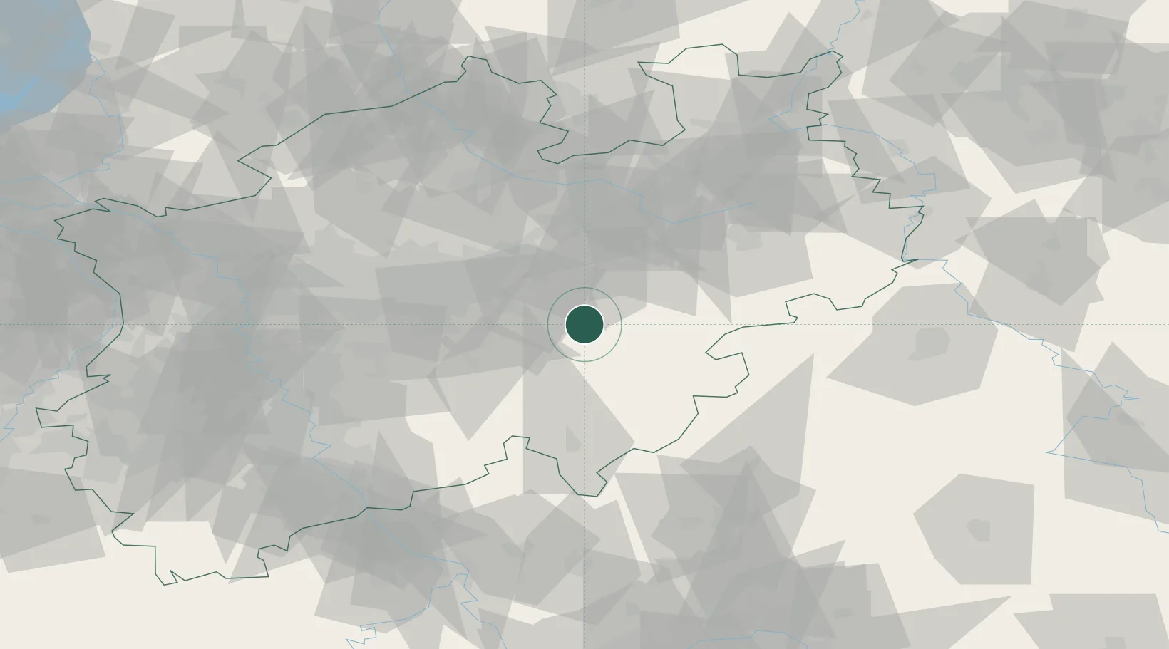
Location
Nearby Logistics Neighbours
Airports
- 1Dortmund Airport36 km
- 2Paderborn Lippstadt Airport45 km
- 3Bielefeld Airport72 km
- 4Siegerland Airport75 km
- 5Cologne Bonn Airport87 km
Trade Zones
- 1Freeport of Duisburg104 km
- 2Rheinische Revier SWZ130 km
- 3Freeport of Bremerhaven (Freihafen Bremerhaven)196 km
- 4Freeport of Emden225 km
- 5Luxembourg Free Port234 km
DatabookThe Record of Consolidated Knowledge
Germany beyond logistics?